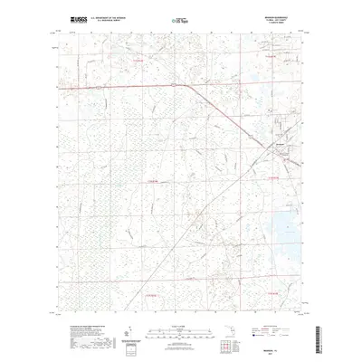
2021 Map of Bronson
USGS Topo · Published 2021About this map
Bronson serves as the focal point of this Levy County landscape, centered around the Levy County Courthouse and the nearby Bronson Cem. The town's grid of local streets, including Davis St and Marshburn Dr, gives way to a sprawling network of rural roads such as NE Andrews Grade and Porter Rd. These routes navigate a complex wetland environment dominated by the Devils Hammock and the winding course of the Waccasassa River in the northwest. Local water features like Blue Springs and Chunky Pond define the low-lying topography, while numerous named section lines and grades indicate the importance of land management and access in this part of Florida. The transition from the established settlement at Bronson to the surrounding hammocks and pine flats reflects a landscape shaped by both civic history and the natural hydrology of the Gulf coastal plain.
Find a feature on this map
75 named features on this map. Tap any name to fly to it.
Don’t see what you’re looking for? This feature index may not catch every label — zoom into the map to look around manually.
Map Details
Editions of this 2021 Bronson Map
This is the sole edition of this map. No revisions or reprints were ever made.
Other maps of this area

1954 · Chiefland
USGS Topo · 1:24,000

1954 · Otter Creek
USGS Topo · 1:24,000

1954 · Bronson
USGS Topo · 1:24,000

1954 · Bronson SW
USGS Topo · 1:24,000

1954 · Gainesville
USGS Topo · 1:250,000

1955 · Bronson NE
USGS Topo · 1:24,000

1955 · Bronson SE
USGS Topo · 1:24,000
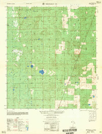
1957 · Bronson SE
USGS Topo · 1:25,000

1958 · Gainesville
USGS Topo · 1:250,000

1959 · Gainesville
USGS Topo · 1:250,000