
1955 Map of Bronson NE
USGS Topo · Published 1956About this map
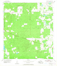
Merediths and the surrounding pine flatwoods of north-central Florida are captured here during a period of transition in the mid-1950s. The landscape is defined by its karst topography, where numerous water bodies like Blue Pete Lake, Sawgrass Lake, and German Pond dot the terrain alongside unique geological features such as Cherry Sink. The economy of the era is evident in the industrial footprints of the Sinclair Mine and Bailey Mine, both noted as inactive by the time of the survey. Transport patterns show the evolution of the region, from the active Seaboard Air Line railroad in the northeast corner to an Old Railroad Grade that cuts across the central timberlands. Small family markers like the Smith Cem and local elevations such as Spring Hill provide specific points of interest for genealogists and local historians tracing the rural development of the Levy and Alachua county border.
Find a feature on this map
19 named features on this map. Tap any name to fly to it.
Don’t see what you’re looking for? This feature index may not catch every label — zoom into the map to look around manually.
Map Details
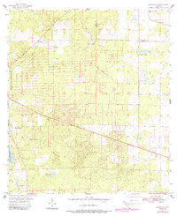
Editions of this 1955 Bronson NE Map
3 editions found
Other maps of this area

1890 · Arredondo
USGS Topo · 1:62,500

1892 · Arredondo
USGS Topo · 1:62,500

1894 · Arredondo
USGS Topo · 1:62,500

1895 · Williston
USGS Topo · 1:62,500

1954 · Bronson
USGS Topo · 1:24,000

1954 · Bronson SW
USGS Topo · 1:24,000

1954 · Gainesville
USGS Topo · 1:250,000

1955 · Bronson SE
USGS Topo · 1:24,000
1957 · Bronson SE
USGS Topo · 1:25,000

1958 · Gainesville
USGS Topo · 1:250,000