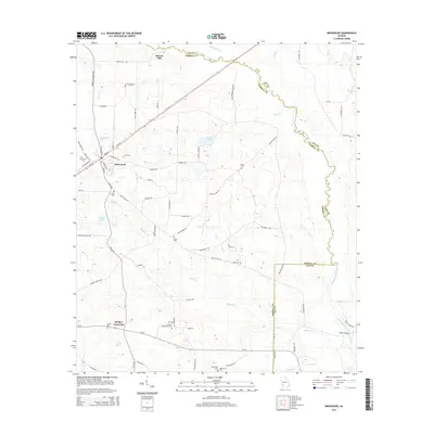
2014 Map of Bronwood
USGS Topo · Published 2014About this map
Bronwood serves as the primary hub of this rural Terrell County landscape, where the town street grid transitions into a network of farming roads and creek crossings. The area is defined by the winding course of Kinchafoonee Creek, which forms much of the eastern boundary between Terrell and Lee counties. The map captures a high density of small, family-named landmarks and rural burial grounds, including the Old Church Cem and New Cem near the town center, and more remote sites like Shiloh Cem and Salem Cem.
Find a feature on this map
75 named features on this map. Tap any name to fly to it.
Don’t see what you’re looking for? This feature index may not catch every label — zoom into the map to look around manually.
Map Details
Editions of this 2014 Bronwood Map
This is the sole edition of this map. No revisions or reprints were ever made.
Other maps of this area

1953 · Dothan
USGS Topo · 1:250,000

1954 · Dothan
USGS Topo · 1:250,000

1955 · Dothan
USGS Topo · 1:250,000

1956 · Sasser
USGS Topo · 1:62,500

1956 · Albany
USGS Topo · 1:62,500

1956 · Leslie
USGS Topo · 1:62,500

1973 · Chickasawhatchee
USGS Topo · 1:24,000

1973 · Sasser
USGS Topo · 1:24,000

1973 · Dawson
USGS Topo · 1:24,000
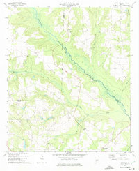
1973 · Bottsford
USGS Topo · 1:24,000