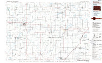
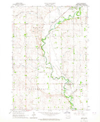
1985 Map of Brookings
USGS Topo · Published 1985About this map
Oakwood Lakes State Park and the glacial lakes of the Coteau des Prairies define this 1985 survey, capturing the agricultural and conservation landscape of the South Dakota-Minnesota borderlands. The region's transport network is anchored by the Chicago and North Western and Burlington Northern railroads, connecting grain-handling hubs like Volga, Brookings, and Tyler. In the southern reaches, the culturally significant Pipestone National Monument sits adjacent to the city of Pipestone, while the Big Sioux River winds southward through Flandreau. This planimetric study reveals a high density of state-managed lands, including dozens of wildlife management areas and waterfowl production sites such as the Shaokatan State Wildlife Management Area and Altona State Wildlife Management Area. Numerous small sloughs and creeks, including Medary Creek and Flandreau Creek, crisscross the grid of section lines, reflecting the complex drainage patterns of the upper Missouri River basin.
Find a feature on this map
124 named features on this map. Tap any name to fly to it.
Don’t see what you’re looking for? This feature index may not catch every label — zoom into the map to look around manually.
Map Details
Editions of this 1985 Brookings Map
2 editions found
Other maps of this area

1953 · Watertown
USGS Topo · 1:250,000

1953 · New Ulm
USGS Topo · 1:250,000

1954 · Fairmont
USGS Topo · 1:250,000

1955 · Sioux Falls
USGS Topo · 1:250,000

1957 · New Ulm
USGS Topo · 1:250,000

1958 · New Ulm
USGS Topo · 1:250,000

1958 · Sioux Falls
USGS Topo · 1:250,000
1958 · Fairmont
USGS Topo · 1:250,000
1958 · Watertown
USGS Topo · 1:250,000
1963 · Trent
USGS Topo · 1:24,000