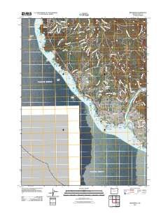
2011 Map of Brookings
USGS Topo · Published 2011About this map
The Chetco River flows into the Pacific Ocean at the southern edge of the Oregon coast, defining the economic and social geography of Brookings and the community of Harbor. This coastal landscape is marked by a complex marine environment featuring numerous offshore hazards such as Goat Island, Arch Rock, and Zwagg Island. Inland, the terrain rises toward peaks like Red Mound and Black Mound, with the residential and commercial centers of the region clustered near the river mouth. The local infrastructure reflects a mix of maritime and aviation activity, supported by the Port of Brookings, Brookings State Airport, and the smaller Garvins Airfield. Genealogists may find value in the location of Ward Memorial Cemetery and Van Pelt Cemetery, while the presence of the Log Pond Dam indicates the area's historical connection to timber processing.
Find a feature on this map
115 named features on this map. Tap any name to fly to it.
Don’t see what you’re looking for? This feature index may not catch every label — zoom into the map to look around manually.
Map Details
Editions of this 2011 Brookings Map
This is the sole edition of this map. No revisions or reprints were ever made.
Other maps of this area

1929 · Crescent City
USGS Topo · 1:125,000

1945 · Point St. George
USGS Topo · 1:62,500

1949 · Eureka
USGS Topo · 1:250,000

1952 · Crescent City
USGS Topo · 1:62,500

1954 · Coos Bay
USGS Topo · 1:250,000

1954 · Cape Ferrelo
USGS Topo · 1:62,500

1954 · Mt. Emily
USGS Topo · 1:62,500

1956 · Smith River
USGS Topo · 1:24,000

1958 · Eureka
USGS Topo · 1:250,000

1958 · Coos Bay
USGS Topo · 1:250,000