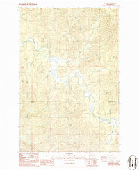
1986 Map of Brooklyn
USGS Topo · Published 1986About this map
Brooklyn sits at the southern confluence of the North River and Fall River in this 1980s topographical study of the timber country along the Grays Harbor and Pacific County line. The settlement pattern is sparse, defined by small clusters of activity such as Vesta and its associated Vesta Creek drainage. A local Cem near the river provides a point of interest for genealogists tracing family histories in this part of Washington. The landscape is dominated by a dense network of watercourses including Smith Creek, Elkhorn Creek, and Salmon Creek, which carve through the high ground. A notable Footbridge spans the North River in the northwestern section, indicating pedestrian or light access routes that existed before modern infrastructure expansion. The map reflects a period when the economy was deeply tied to these river valleys and the surrounding forests.
Find a feature on this map
23 named features on this map. Tap any name to fly to it.
Don’t see what you’re looking for? This feature index may not catch every label — zoom into the map to look around manually.
Map Details
Editions of this 1986 Brooklyn Map
2 editions found
Other maps of this area

1940 · Montesano
USGS Topo · 1:62,500

1941 · Walville
USGS Topo · 1:62,500

1941 · Ford
USGS Topo · 1:62,500

1953 · Hoquiam
USGS Topo · 1:250,000

1953 · Pe Ell
USGS Topo · 1:62,500

1953 · Malone
USGS Topo · 1:62,500

1955 · Montesano
USGS Topo · 1:62,500

1955 · Raymond
USGS Topo · 1:62,500

1957 · Hoquiam
USGS Topo · 1:250,000

1958 · Hoquiam
USGS Topo · 1:250,000