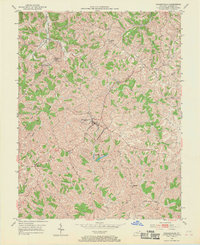
1952 Map of Brooksville
USGS Topo · Published 1970About this map
Brooksville serves as the focal point of this Kentucky landscape, characterized by its position as a central hub for the surrounding rural communities during the early 1950s. The topography is defined by the winding drainages of Locust Creek and Willow Creek, which carve through the terrain and dictate the placement of small settlements and family holdings. For the local historian, the map preserves the location of scattered social centers including the County Home and several rural sanctuaries like Mt Zion Ch and Concord Ch. The presence of the Brooksville Reservoirs south of the main town site highlights the infrastructure required to support these concentrated upland populations. Smaller hamlets such as Powersville, Chatham, and Woolcott are connected by a network of light-duty roads, reflecting a mid-century agricultural economy where transport and community life revolved around these specific crossroads and creek valleys.
Find a feature on this map
26 named features on this map. Tap any name to fly to it.
Don’t see what you’re looking for? This feature index may not catch every label — zoom into the map to look around manually.
Map Details
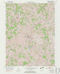
Editions of this 1952 Brooksville Map
3 editions found

Other maps of this area

1915 · Maysville
USGS Topo · 1:62,500

1919 · Maysville
USGS Topo · 1:62,500

1928 · Higginsport
USGS Topo · 1:48,000

1931 · Felicity
USGS Topo · 1:62,500

1931 · Higginsport
USGS Topo · 1:62,500

1952 · Germantown
USGS Topo · 1:24,000

1952 · Higginsport
USGS Topo · 1:24,000

1952 · Sardis
USGS Topo · 1:24,000

1952 · Mount Olivet
USGS Topo · 1:24,000

1952 · Berlin
USGS Topo · 1:24,000