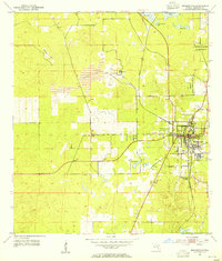
1954 Map of Brooksville
USGS Topo · Published 1955About this map
Brooksville serves as the focal point of this mid-century survey, shown as a growing hub where the Seaboard Air Line railroad intersects with local industry and transit. The landscape to the west and north reveals a heavy industrial presence, marked by a series of excavations including multiple quarries, a mine, and a large Tailings Pond near the small settlement of Camps.
Find a feature on this map
17 named features on this map. Tap any name to fly to it.
Don’t see what you’re looking for? This feature index may not catch every label — zoom into the map to look around manually.
Map Details
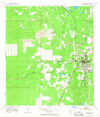
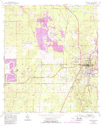
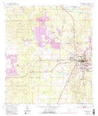
Editions of this 1954 Brooksville Map
4 editions found
Other maps of this area
1954 · Spring Lake
USGS Topo · 1:24,000
1954 · Brooksville NW
USGS Topo · 1:24,000
1954 · Nobleton
USGS Topo · 1:24,000
1954 · Chassahowitzka
USGS Topo · 1:24,000
1954 · Masaryktown
USGS Topo · 1:24,000
1954 · Brooksville SE
USGS Topo · 1:24,000
1954 · Weekiwachee Springs
USGS Topo · 1:24,000
1954 · Port Richey NE
USGS Topo · 1:24,000
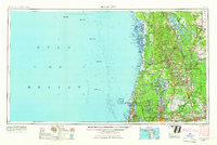
1955 · Plant City
USGS Topo · 1:250,000
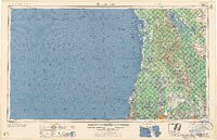
1958 · Plant City
USGS Topo · 1:250,000