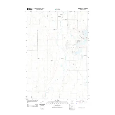
2013 Map of Browerville NE
USGS Topo · Published 2013About this map
The Long Prairie River meanders through this portion of Todd County, defining a landscape shaped by glacial recession and mid-century rural development. Along its banks and the neighboring Moran Cr, the placement of the Moran Riverside Cem and Saint Isadore Cem reflects the early community centers of the region. The map reveals a high density of small water bodies in the east, including Moonshine Lake, Pine Island Lake, and Peat Lake, many of which are surrounded by a late-stage residential road network with names like Paradise Dr and Lake Shore Dr. Farther west, the terrain shifts toward a more traditional section-line grid, where the Swedish Cem stands as a quiet marker of the area's ancestral heritage amidst expansive wetlands like Dempsey Lake.
Find a feature on this map
48 named features on this map. Tap any name to fly to it.
Don’t see what you’re looking for? This feature index may not catch every label — zoom into the map to look around manually.
Map Details
Editions of this 2013 Browerville NE Map
This is the sole edition of this map. No revisions or reprints were ever made.
Other maps of this area

1948 · Cushing
USGS Topo · 1:62,500

1950 · Cushing
USGS Topo · 1:62,500

1953 · Brainerd
USGS Topo · 1:250,000

1957 · Brainerd
USGS Topo · 1:250,000

1958 · Brainerd
USGS Topo · 1:250,000

1963 · Motley
USGS Topo · 1:24,000

1965 · Brainerd
USGS Topo · 1:250,000
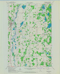
1966 · Browerville
USGS Topo · 1:24,000
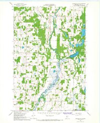
1966 · Browerville NE
USGS Topo · 1:24,000

1966 · Staples
USGS Topo · 1:24,000