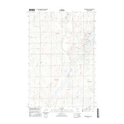
2016 Map of Browerville NE
USGS Topo · Published 2016About this map
The Long Prairie River meanders through the central corridor of this Todd County landscape, defining a terrain of low-lying wetlands and numerous glacial lakes. In the early 21st century, this rural region remains characterized by its scattered water bodies, including Moonshine Lake, Turtle Lake, and Pine Island Lake. Local history is anchored by several small burial grounds that mark early community nodes, such as Saint Isadore Cem and Moran Riverside Cem in the north, and the Swedish Cem further south. The drainage network is further detailed by Moran Cr and Turtle Cr, which feed into the primary river system. This map illustrates the intersection of natural water features and the grid of county roads, like Co RD 21 and Co 79, that provide access to the area's agricultural and recreational lakefront properties.
Find a feature on this map
72 named features on this map. Tap any name to fly to it.
Don’t see what you’re looking for? This feature index may not catch every label — zoom into the map to look around manually.
Map Details
Editions of this 2016 Browerville NE Map
This is the sole edition of this map. No revisions or reprints were ever made.
Other maps of this area

1948 · Cushing
USGS Topo · 1:62,500

1950 · Cushing
USGS Topo · 1:62,500

1953 · Brainerd
USGS Topo · 1:250,000

1957 · Brainerd
USGS Topo · 1:250,000

1958 · Brainerd
USGS Topo · 1:250,000

1963 · Motley
USGS Topo · 1:24,000

1965 · Brainerd
USGS Topo · 1:250,000
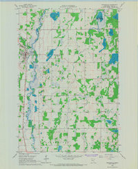
1966 · Browerville
USGS Topo · 1:24,000
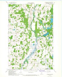
1966 · Browerville NE
USGS Topo · 1:24,000

1966 · Staples
USGS Topo · 1:24,000