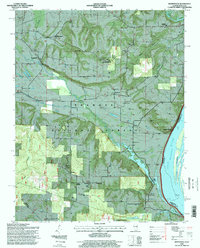
1996 Map of Brownfield
USGS Topo · Published 1998About this map
The Ohio River forms a sharp southern boundary for this portion of southern Illinois, where the Sisters Islands sit in the channel near Ropers Landing. Inland, the terrain is defined by the extensive reaches of the Shawnee National Forest, which envelops numerous small agricultural settlements and family landmarks. The map traces the distinction between Brownfield and Old Brownfield, reflecting shifts in local settlement patterns near Bay Creek.
Find a feature on this map
48 named features on this map. Tap any name to fly to it.
Don’t see what you’re looking for? This feature index may not catch every label — zoom into the map to look around manually.
Map Details
Editions of this 1996 Brownfield Map
This is the sole edition of this map. No revisions or reprints were ever made.
Other maps of this area

1916 · Golconda
USGS Topo · 1:62,500

1917 · Brownfield
USGS Topo · 1:62,500

1920 · Goloonda
USGS Topo · 1:48,000

1921 · Golconda
USGS Topo · 1:62,500

1926 · Paducah
USGS Topo · 1:62,500

1929 · Smithland
USGS Topo · 1:62,500

1929 · Paducah
USGS Topo · 1:62,500

1936 · Smithland
USGS Topo · 1:48,000

1940 · Paducah
USGS Topo · 1:62,500
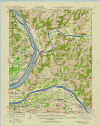
1942 · Smithland
USGS Topo · 1:62,500