
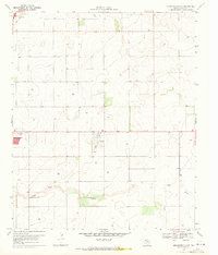
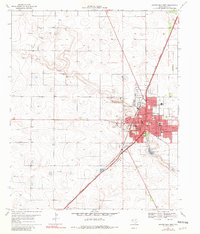
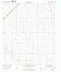
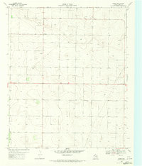
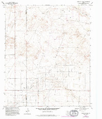
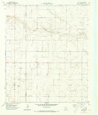
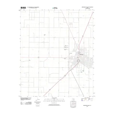
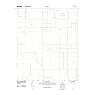
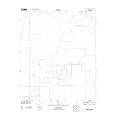
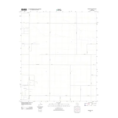
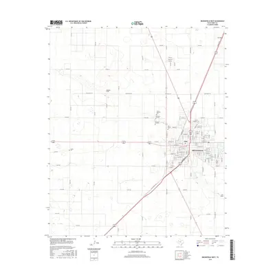
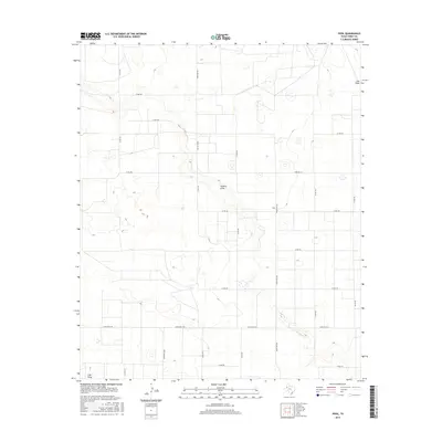
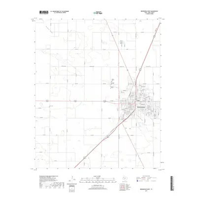
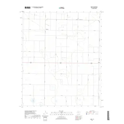
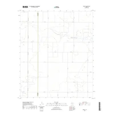
1969 Map of Brownfield West
USGS Topo · Published 1972About this map
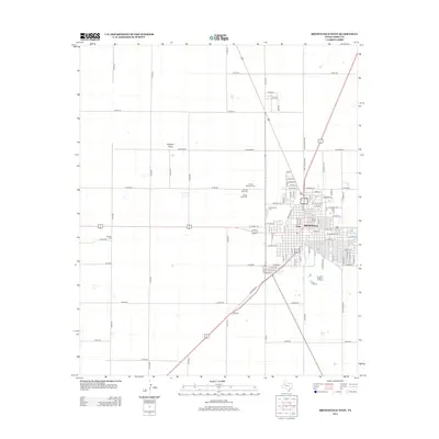
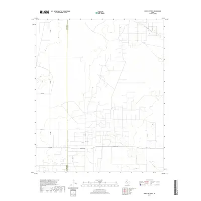
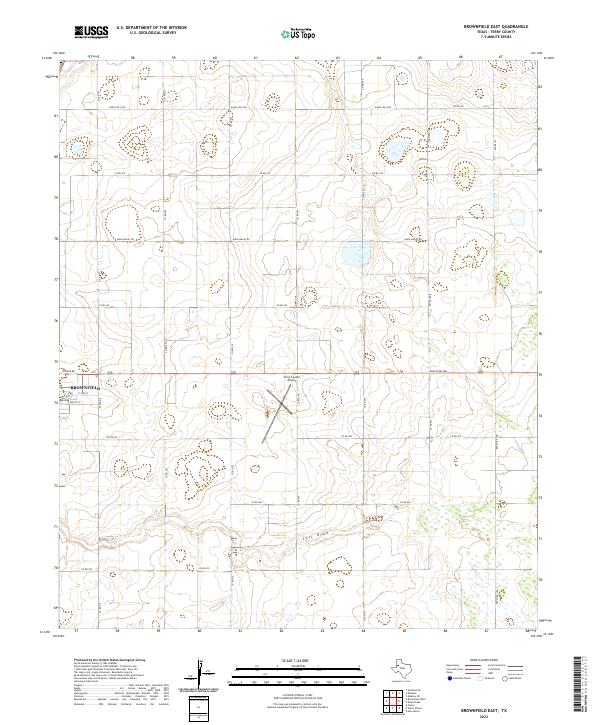
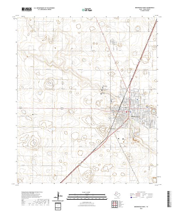
Brownfield serves as the focal point of this West Texas landscape, positioned at a critical junction of the Atchison Topeka and Santa Fe railroad and multiple regional roads. The town's mid-century expansion is evident through the development of residential areas like Colonial Heights and essential infrastructure such as the Jr High Sch and High Sch. Local history is deeply etched into the outskirts, where several burial grounds including Old Mt Zion Cem and the County Memorial Cemetery reflect the area's early settlement roots.
Find a feature on this map
36 named features on this map. Tap any name to fly to it.
Don’t see what you’re looking for? This feature index may not catch every label — zoom into the map to look around manually.
Map Details
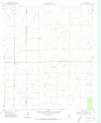
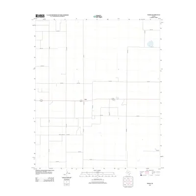
Editions of this 1969 Brownfield West Map
2 editions found
Historical Maps of Brownfield Through Time
61 maps found
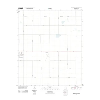
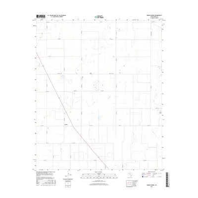
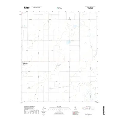
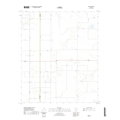
1969 Brownfield East
Terry County, TX
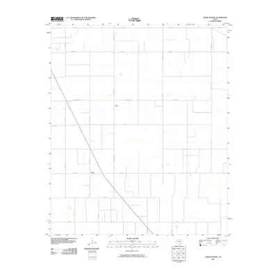
1969 Brownfield West
Terry County, TX
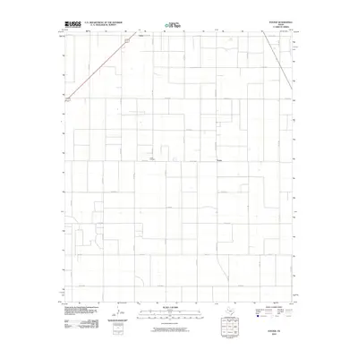
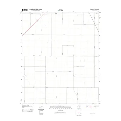
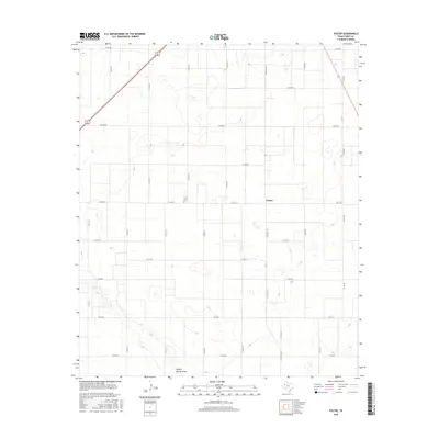
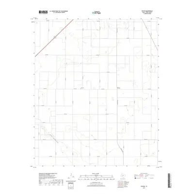
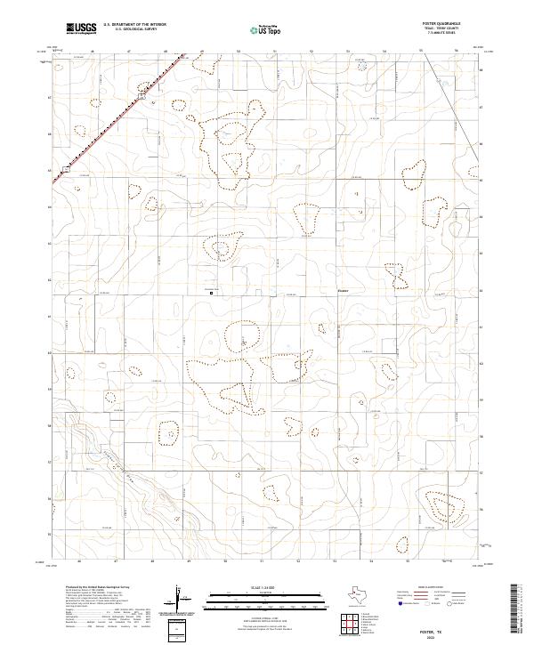
1969 Foster
Terry County, TX
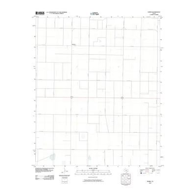
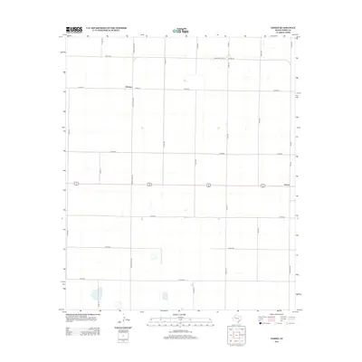
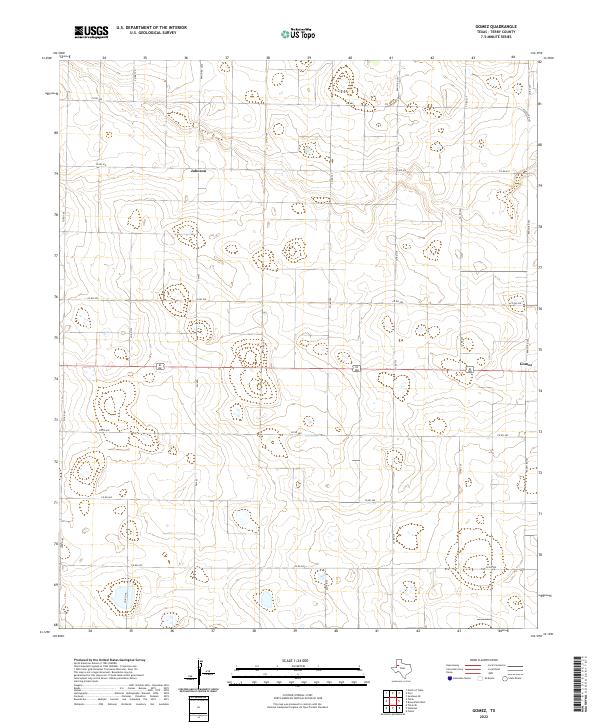
1969 Gomez
Terry County, TX
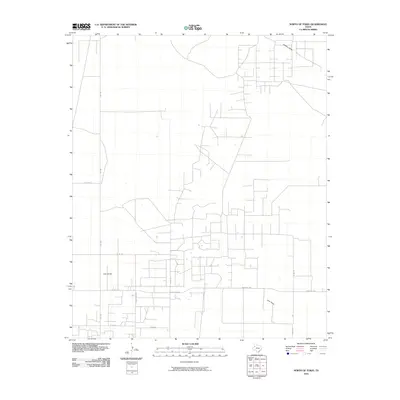
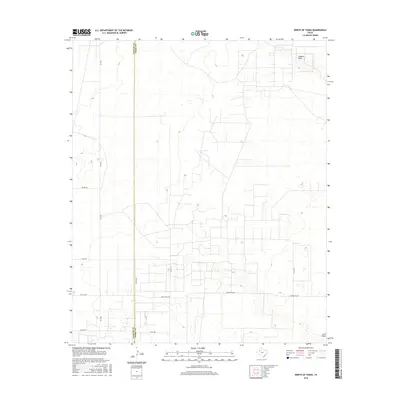
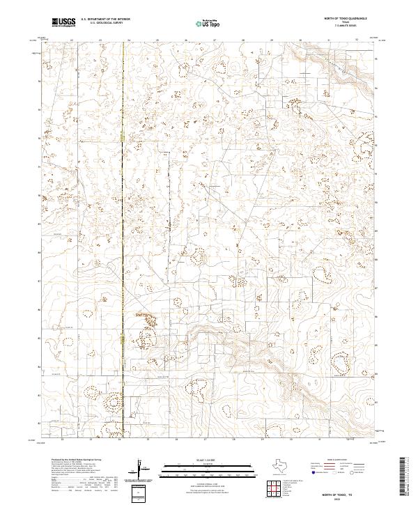
1969 North of Tokio
Terry County, TX
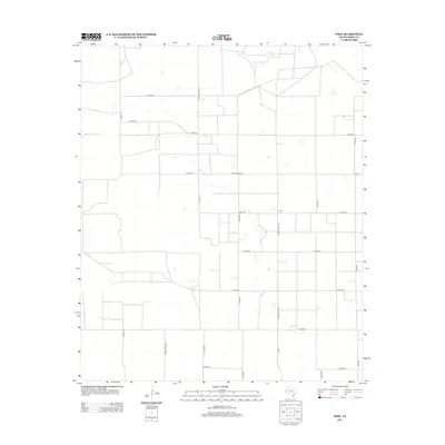
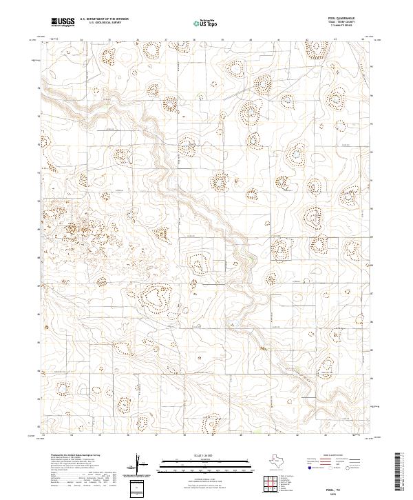
1969 Pool
Terry County, TX
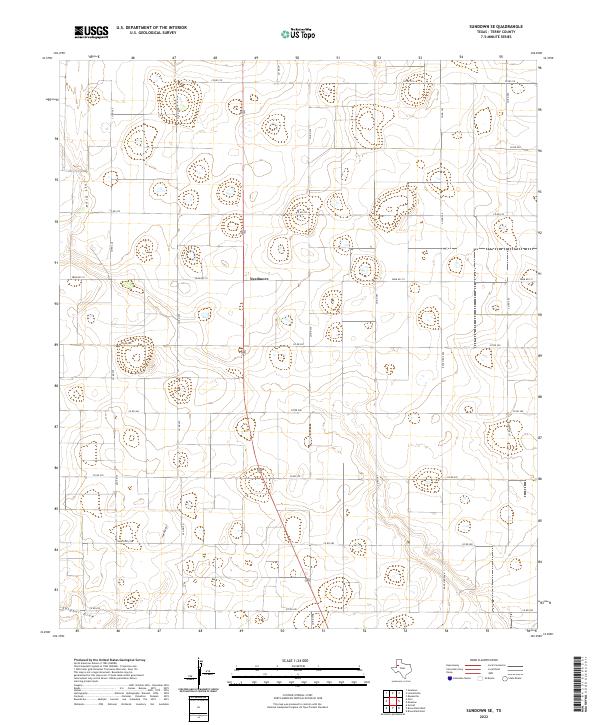
1969 Sundown SE
Terry County, TX
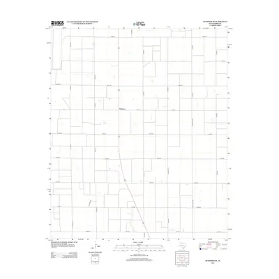
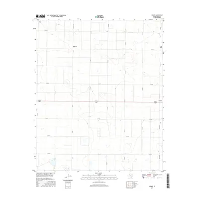
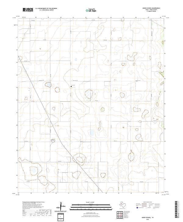
1969 Union School
Terry County, TX
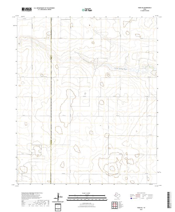
1970 Tokio SE
Terry County, TX
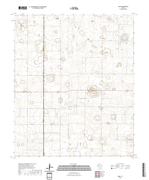
1970 Tokio
Terry County, TX
1976 Meadow SW
Terry County, TX
2010 Brownfield East
Terry County, TX
2010 Brownfield West
Terry County, TX
2010 Foster
Terry County, TX
2010 Gomez
Terry County, TX
2010 North of Tokio
Terry County, TX
2010 Pool
Terry County, TX
2010 Sundown SE
Terry County, TX
2010 Tokio SE
Terry County, TX
2010 Tokio
Terry County, TX
2010 Union School
Terry County, TX
2012 Brownfield East
Terry County, TX
2012 Brownfield West
Terry County, TX
2012 Foster
Terry County, TX
2012 Gomez
Terry County, TX
2012 North of Tokio
Terry County, TX
2012 Pool
Terry County, TX
2012 Sundown SE
Terry County, TX
2012 Tokio SE
Terry County, TX
2012 Tokio
Terry County, TX
2012 Union School
Terry County, TX
2016 Brownfield East
Terry County, TX
2016 Brownfield West
Terry County, TX
2016 Foster
Terry County, TX
2016 Gomez
Terry County, TX
2016 North of Tokio
Terry County, TX
2016 Pool
Terry County, TX
2016 Sundown SE
Terry County, TX
2016 Tokio SE
Terry County, TX
2016 Tokio
Terry County, TX
2016 Union School
Terry County, TX
2019 Brownfield East
Terry County, TX
2019 Brownfield West
Terry County, TX
2019 Foster
Terry County, TX
2019 Gomez
Terry County, TX
2019 North of Tokio
Terry County, TX
2019 Pool
Terry County, TX
2019 Sundown SE
Terry County, TX
2019 Tokio SE
Terry County, TX
2019 Tokio
Terry County, TX
2019 Union School
Terry County, TX
2022 Brownfield East
Terry County, TX
2022 Brownfield West
Terry County, TX
2022 Foster
Terry County, TX
2022 Gomez
Terry County, TX
2022 North of Tokio
Terry County, TX
2022 Pool
Terry County, TX
2022 Sundown SE
Terry County, TX
2022 Tokio SE
Terry County, TX
2022 Tokio
Terry County, TX
2022 Union School
Terry County, TX