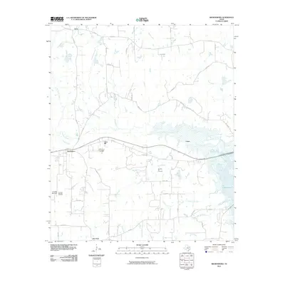
2010 Map of Brownsboro
USGS Topo · Published 2010About this map
Old Norwegian Cemetery and Old Rock Hill Cemetery anchor this portion of Henderson County, offering valuable points of reference for genealogists and local researchers. The landscape is defined by the convergence of several waterways, including Kickapoo Creek and Murchison Creek, which flow toward the eastern reach of Lake Palestine. The settlement pattern centers on the established community of Brownsboro, with smaller nodes like Union Hill, Evelyn, and New Hope connected by a network of farm-to-market roads and county lanes.
Find a feature on this map
55 named features on this map. Tap any name to fly to it.
Don’t see what you’re looking for? This feature index may not catch every label — zoom into the map to look around manually.
Map Details
Editions of this 2010 Brownsboro Map
This is the sole edition of this map. No revisions or reprints were ever made.
Other maps of this area
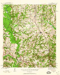
1946 · Bullard
USGS Topo · 1:62,500
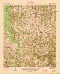
1948 · Bullard
USGS Topo · 1:62,500
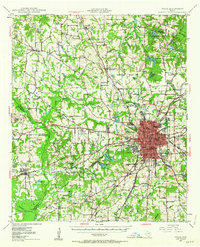
1948 · Tyler
USGS Topo · 1:62,500
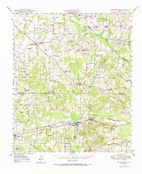
1948 · Brownsboro
USGS Topo · 1:62,500
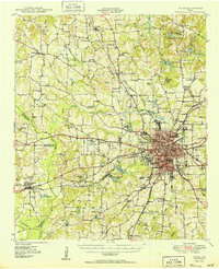
1949 · Tyler
USGS Topo · 1:62,500
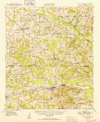
1949 · Brownsboro
USGS Topo · 1:62,500
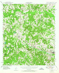
1949 · Frankston
USGS Topo · 1:62,500
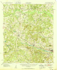
1950 · Frankston
USGS Topo · 1:62,500

1956 · Tyler
USGS Topo · 1:250,000
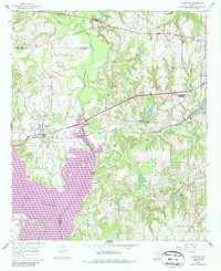
1966 · Chandler
USGS Topo · 1:24,000