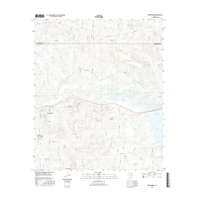
2016 Map of Brownsboro
USGS Topo · Published 2016About this map
Brownsboro sits at the heart of this East Texas survey, where the rolling landscape is defined by the extensive tributaries of the Neches River basin. The map reveals a high concentration of local heritage sites, notably the Old Norwegian Cem and Old Rock Hill Cem, which point to the diverse settlement history of the area. To the south, the terrain rises toward Jennings Mtn, overlooking the smaller community of New Hope. The hydrology of the region is prominent, with the meandering path of Kickapoo Cr flowing eastward toward the northern reaches of Lake Palestine and Kickapoo Cove. This 2016 edition illustrates how modern county roads and farm-to-market routes have overlayed the historical rural network, connecting family-named landmarks like Red River Farm and Jennings Mountain Cem across the Van Zandt and Henderson county line.
Find a feature on this map
81 named features on this map. Tap any name to fly to it.
Don’t see what you’re looking for? This feature index may not catch every label — zoom into the map to look around manually.
Map Details
Editions of this 2016 Brownsboro Map
This is the sole edition of this map. No revisions or reprints were ever made.
Other maps of this area

1946 · Bullard
USGS Topo · 1:62,500

1948 · Bullard
USGS Topo · 1:62,500

1948 · Tyler
USGS Topo · 1:62,500

1948 · Brownsboro
USGS Topo · 1:62,500

1949 · Tyler
USGS Topo · 1:62,500

1949 · Brownsboro
USGS Topo · 1:62,500

1949 · Frankston
USGS Topo · 1:62,500

1950 · Frankston
USGS Topo · 1:62,500

1956 · Tyler
USGS Topo · 1:250,000

1966 · Chandler
USGS Topo · 1:24,000