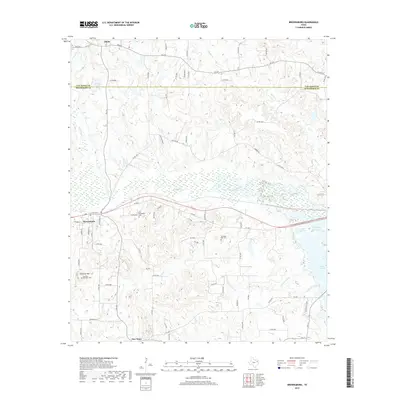
2019 Map of Brownsboro
USGS Topo · Published 2019About this map
Brownsboro sits at the intersection of local history and a changing East Texas landscape, positioned south of the Van Zandt Co and Henderson Co line. This 2019 survey captures the community as it extends toward the eastern waters of Lake Palestine, including the quiet reach of Kickapoo Cove. The terrain is defined by low ridges and complex drainage systems like Kickapoo Cr and Cottonwood Cr, which have shaped the settlement patterns of this timbered region.
Find a feature on this map
82 named features on this map. Tap any name to fly to it.
Don’t see what you’re looking for? This feature index may not catch every label — zoom into the map to look around manually.
Map Details
Editions of this 2019 Brownsboro Map
This is the sole edition of this map. No revisions or reprints were ever made.
Other maps of this area

1946 · Bullard
USGS Topo · 1:62,500

1948 · Bullard
USGS Topo · 1:62,500

1948 · Tyler
USGS Topo · 1:62,500

1948 · Brownsboro
USGS Topo · 1:62,500

1949 · Tyler
USGS Topo · 1:62,500

1949 · Brownsboro
USGS Topo · 1:62,500

1949 · Frankston
USGS Topo · 1:62,500

1950 · Frankston
USGS Topo · 1:62,500

1956 · Tyler
USGS Topo · 1:250,000

1966 · Chandler
USGS Topo · 1:24,000