
1957 Map of Bruceville
USGS Topo · Published 1958About this map
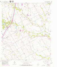
Bruceville and Eddy anchor the western edge of this 1957 landscape, situated along the Missouri Kansas Texas railroad and Texas Highway 7. This Central Texas terrain is defined by the winding drainages of North Cow Bayou and South Cow Bayou, which cut through a mosaic of agricultural land and scattered homesteads. The map reveals a dense network of family and community landmarks, including the Cottonwood Sch (Aband) and numerous rural burial grounds like Cox Cem and Mooreville Cem.
Find a feature on this map
30 named features on this map. Tap any name to fly to it.
Don’t see what you’re looking for? This feature index may not catch every label — zoom into the map to look around manually.
Map Details
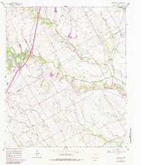
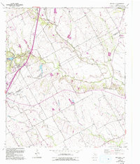
Editions of this 1957 Bruceville Map
4 editions found
Other maps of this area

1892 · Temple
USGS Topo · 1:125,000

1931 · Mc Gregor
USGS Topo · 1:62,500

1931 · Belton
USGS Topo · 1:62,500

1954 · Waco
USGS Topo · 1:250,000

1955 · Waco
USGS Topo · 1:250,000

1957 · Lorena
USGS Topo · 1:24,000

1957 · Chilton
USGS Topo · 1:24,000
1957 · Robinson
USGS Topo · 1:24,000
1963 · Lott
USGS Topo · 1:24,000
1963 · Belfalls
USGS Topo · 1:24,000