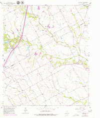
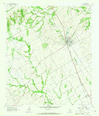
1957 Map of Bruceville
USGS Topo · Published 1979About this map
The boundary between Mc Lennan Co and Falls Co bisects this Central Texas landscape, where the agricultural and rail-based economy of the late 1950s is clearly visible. The Missouri Kansas Texas railroad serves as a primary corridor, passing through Bruceville and several small rural clusters. Rural life is anchored by community landmarks such as Cottonwood Ch, while the eventual shift in educational patterns is marked by the presence of the Cottonwood Sch (Aband). Extensive drainage systems defined by North Cow Bayou, South Cow Bayou, and Cottonwood Creek dictate the placement of local cemeteries and roads. Notable family and community burial grounds including Cox Cem, Mooreville Cem, and Beulah Cem provide essential data points for local genealogy across these two counties. This survey, updated in the late 1970s, also records several Gravel Pits, indicating localized industrial resource extraction alongside traditional farming.
Find a feature on this map
32 named features on this map. Tap any name to fly to it.
Don’t see what you’re looking for? This feature index may not catch every label — zoom into the map to look around manually.
Map Details
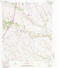
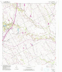
Editions of this 1957 Bruceville Map
4 editions found
Other maps of this area

1892 · Temple
USGS Topo · 1:125,000

1931 · Mc Gregor
USGS Topo · 1:62,500

1931 · Belton
USGS Topo · 1:62,500

1954 · Waco
USGS Topo · 1:250,000

1955 · Waco
USGS Topo · 1:250,000

1957 · Bruceville
USGS Topo · 1:24,000

1957 · Lorena
USGS Topo · 1:24,000

1957 · Chilton
USGS Topo · 1:24,000
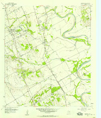
1957 · Robinson
USGS Topo · 1:24,000
1963 · Lott
USGS Topo · 1:24,000