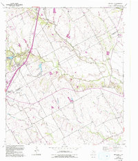
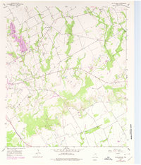
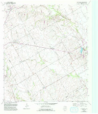
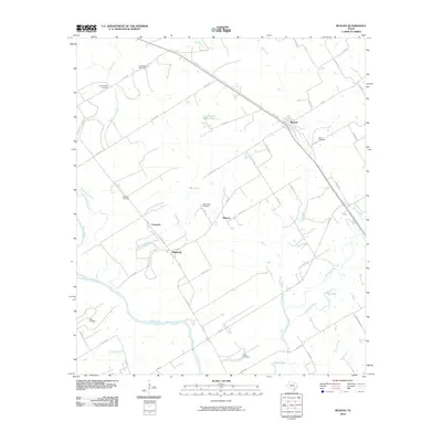
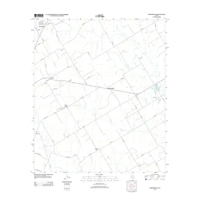
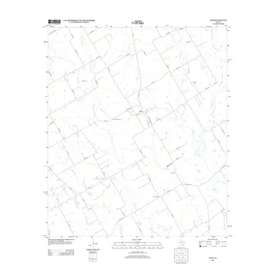
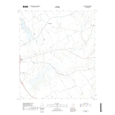
1957 Map of Bruceville
USGS Topo · Published 1993About this map
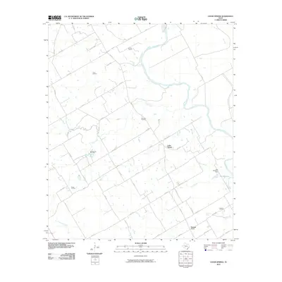
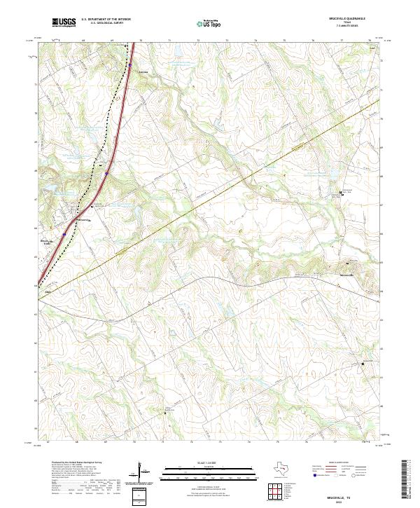
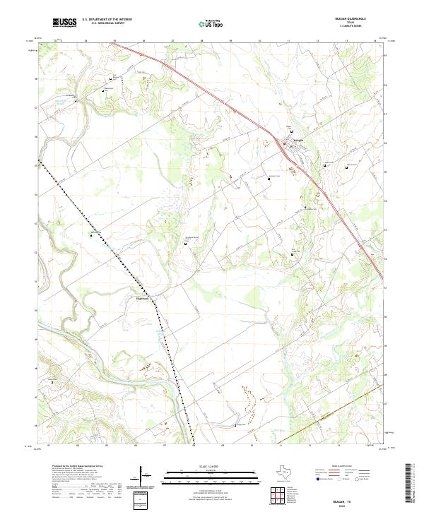
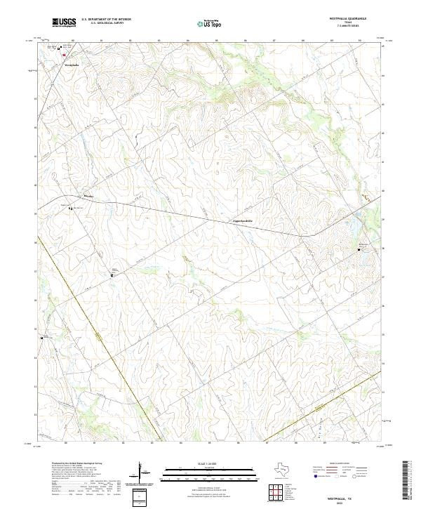
Cottonwood Creek and North Fork Cow Bayou carve through the landscape along the McLennan Co Falls Co border, where the rural character of Central Texas is preserved across decades of mapping. This survey, based on 1950s data with updates into the 1990s, documents the cluster of settlements at Lorena, Bruceville, Eddy, and Mooreville. The transport infrastructure is dominated by the Missouri-Kansas-Texas railroad corridor, while the social geography is anchored by several family and community landmarks such as Cox Cem, Beulah Cem, and the Cottonwood Community Ctr. Notable for genealogists is the distribution of local burial grounds and churches like Cottonwood Ch and the Bruceville-Moore Cemetery, providing a specific record of the community's footprint before later 20th-century development altered the more established rural patterns.
Find a feature on this map
34 named features on this map. Tap any name to fly to it.
Don’t see what you’re looking for? This feature index may not catch every label — zoom into the map to look around manually.
Map Details
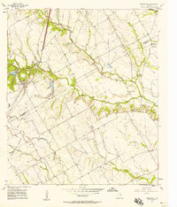
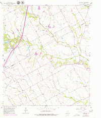
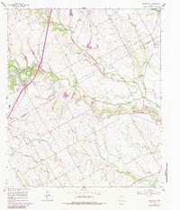
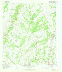
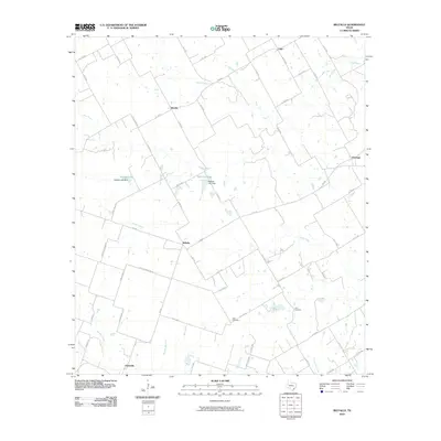
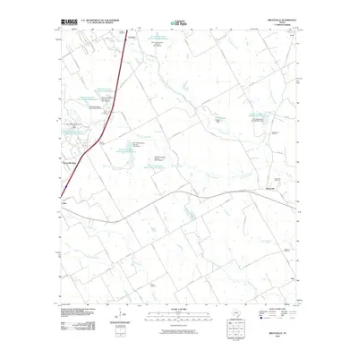
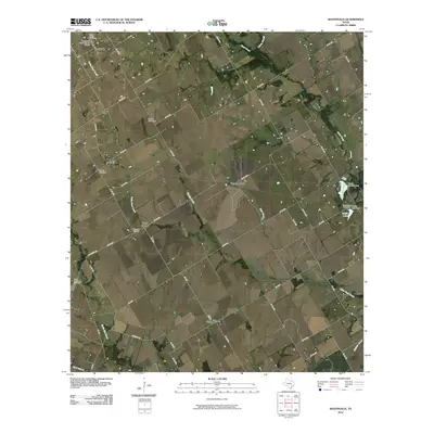
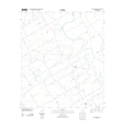
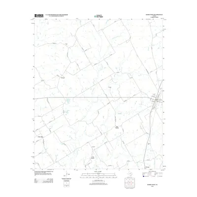
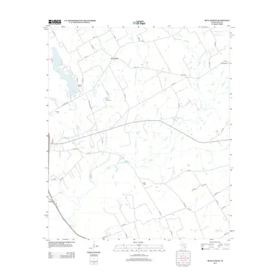
Editions of this 1957 Bruceville Map
4 editions found
Historical Maps of Lorena Through Time
48 maps found
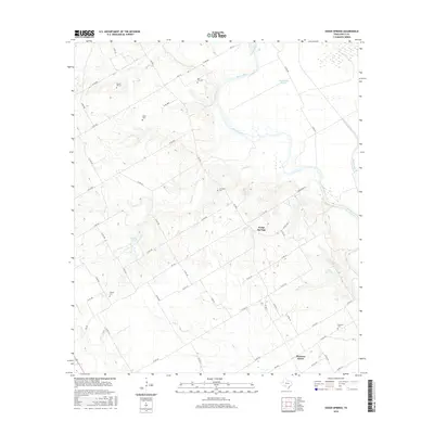
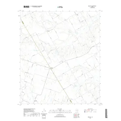
1957 Bruceville
Falls County, TX
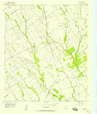
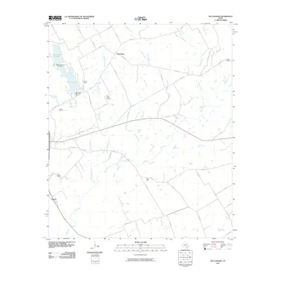
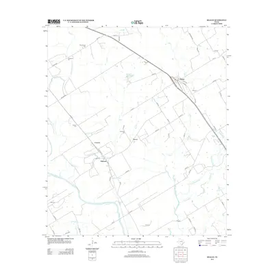
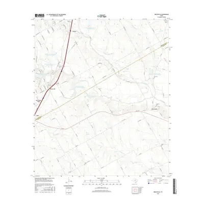
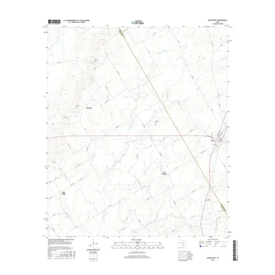
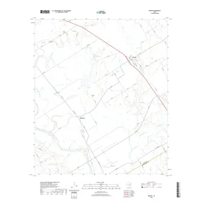
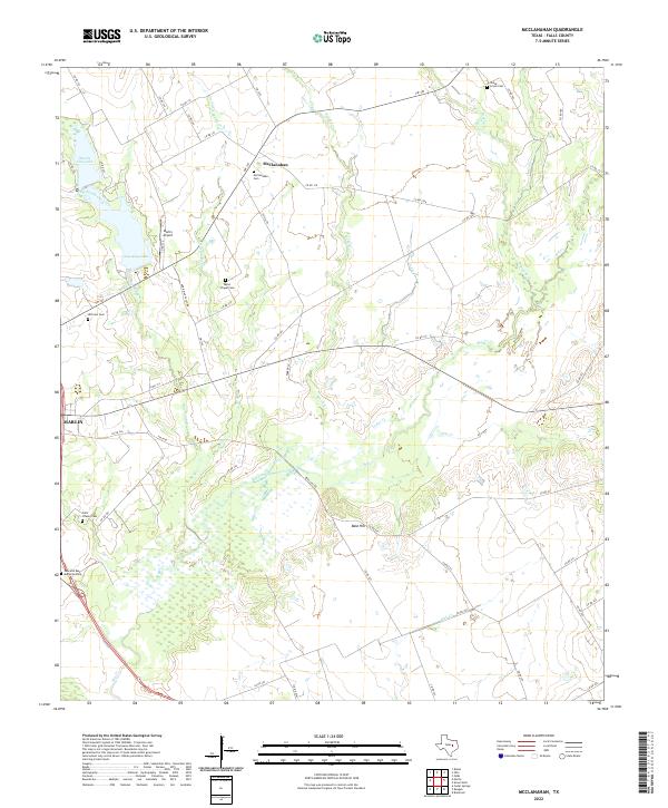
1957 McClanahan
Falls County, TX
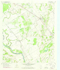
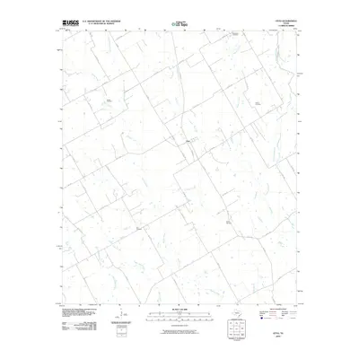
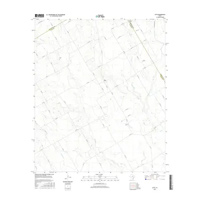
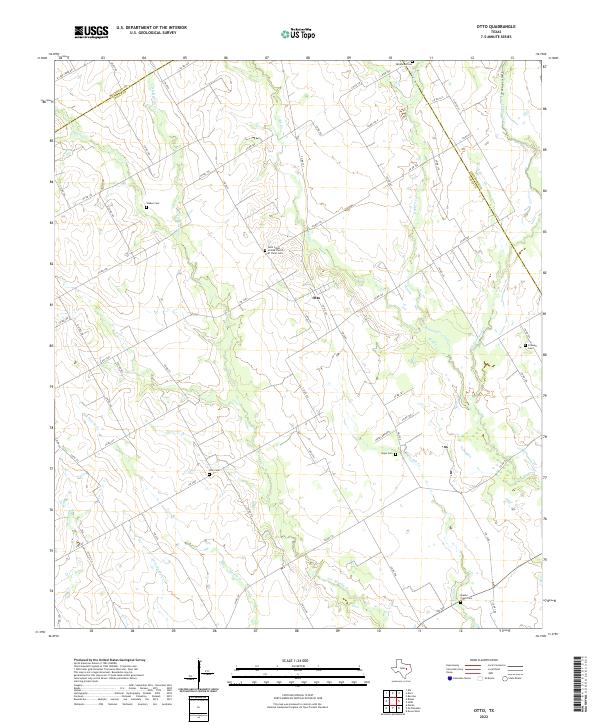
1957 Otto
Falls County, TX

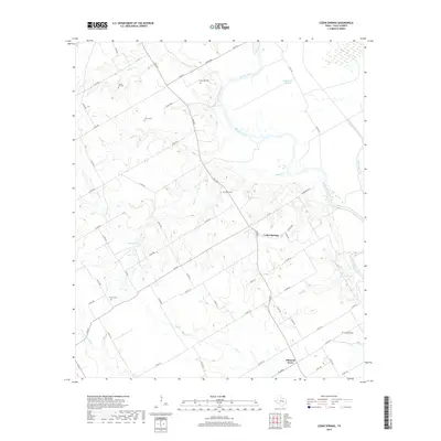
1962 Cedar Springs
Falls County, TX
1962 Reagan
Falls County, TX
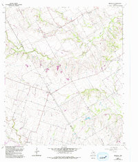
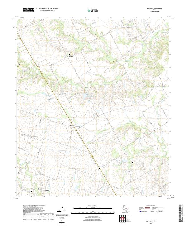
1963 Belfalls
Falls County, TX
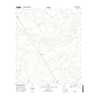
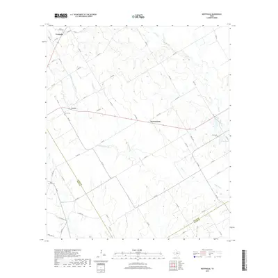
1963 Westphalia
Falls County, TX
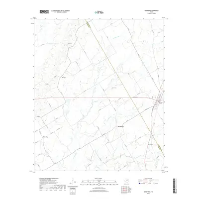
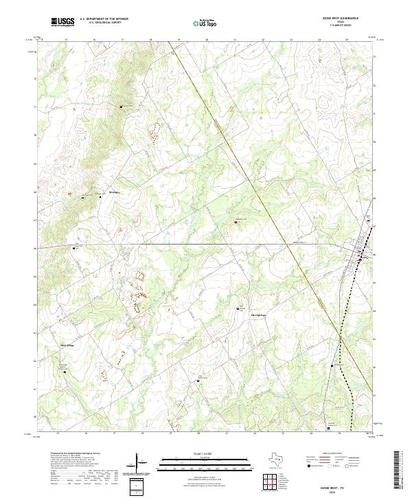
1965 Kosse West
Falls County, TX
2010 Belfalls
Falls County, TX
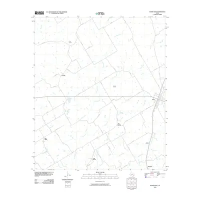
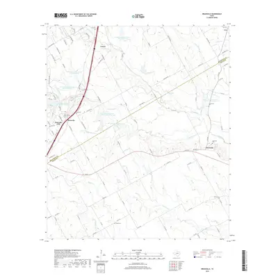
2010 Bruceville
Falls County, TX
2010 Cedar Springs
Falls County, TX
2010 Kosse West
Falls County, TX
2010 McClanahan
Falls County, TX
2010 Otto
Falls County, TX
2010 Reagan
Falls County, TX
2010 Westphalia
Falls County, TX
2012 Belfalls
Falls County, TX
2012 Bruceville
Falls County, TX
2012 Westphalia
Falls County, TX
2013 Cedar Springs
Falls County, TX
2013 Kosse West
Falls County, TX
2013 McClanahan
Falls County, TX
2013 Otto
Falls County, TX
2013 Reagan
Falls County, TX
2016 Belfalls
Falls County, TX
2016 Bruceville
Falls County, TX
2016 Cedar Springs
Falls County, TX
2016 Kosse West
Falls County, TX
2016 McClanahan
Falls County, TX
2016 Otto
Falls County, TX

2016 Reagan
Falls County, TX

2016 Westphalia
Falls County, TX
2019 Belfalls
Falls County, TX
2019 Bruceville
Falls County, TX
2019 Cedar Springs
Falls County, TX
2019 Kosse West
Falls County, TX
2019 McClanahan
Falls County, TX

2019 Otto
Falls County, TX
2019 Reagan
Falls County, TX
2019 Westphalia
Falls County, TX
2022 Belfalls
Falls County, TX
2022 Bruceville
Falls County, TX

2022 Cedar Springs
Falls County, TX
2022 Kosse West
Falls County, TX
2022 McClanahan
Falls County, TX
2022 Otto
Falls County, TX
2022 Reagan
Falls County, TX
2022 Westphalia
Falls County, TX