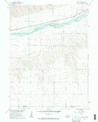
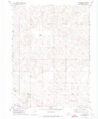
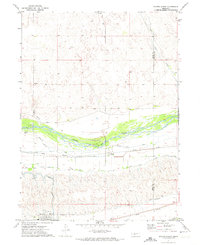
1961 Map of Brule SE
USGS Topo · Published 1963This historical map portrays the area of Brule SE in 1961, primarily covering Keith County as well as portions of Perkins County. Featuring a scale of 1:24000, this map provides a highly detailed snapshot of the terrain, roads, buildings, counties, and historical landmarks in the Brule SE region at the time. Published in 1963, it is one of 2 known editions of this map due to revisions or reprints.
Map Details
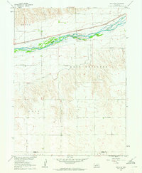
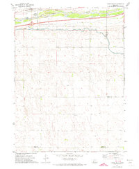
Editions of this 1961 Brule SE Map
2 editions found
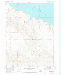
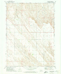
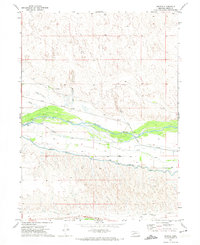
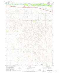
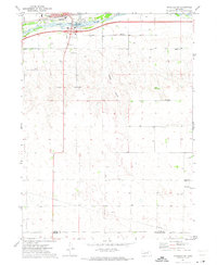
Historical Maps of Perkins County Through Time
12 maps found
1961 Brule SE
Keith County, NE
1971 Brule NE
Keith County, NE
1971 Brule NW
Keith County, NE
1971 Glinn Ranch
Keith County, NE
1971 Nevens
Keith County, NE
1971 Ogallala SE
Keith County, NE
1971 Ogallala SW
Keith County, NE
1971 Paxton North
Keith County, NE
1971 Paxton South
Keith County, NE
1971 Paxton SW
Keith County, NE
1972 Big Bald Hill
Keith County, NE
1972 Big Bald Hill SE
Keith County, NE