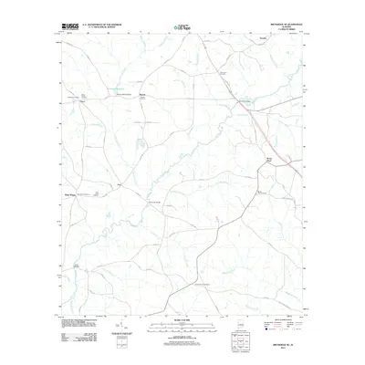
2011 Map of Brundidge SE
USGS Topo · Published 2011About this map
The Pea River meanders through this landscape, defining the rural character of southeastern Alabama. This 2011 survey illustrates a region where local heritage is preserved in numerous family and community burial grounds, such as the Selgar Family Cemetery, Strickland Cemetery, and Mount Zion Cemetery. Small settlements like Tennille, Roeton, and Rocky Head anchor the road network, while the Roeton Mill Pond Dam indicates a history of water management on the Clearwater Creek system. The map is particularly useful for genealogists tracing ancestral roots through specific sites like New Hope Cemetery and Saint Johns Cemetery. This modern topographical study captures the enduring rural layout of the region, from the creek bottoms of Huckleberry Creek to the intersection of county routes that connect these long-standing communities.
Find a feature on this map
75 named features on this map. Tap any name to fly to it.
Don’t see what you’re looking for? This feature index may not catch every label — zoom into the map to look around manually.
Map Details
Editions of this 2011 Brundidge SE Map
This is the sole edition of this map. No revisions or reprints were ever made.
Other maps of this area

1942 · Enterprise
USGS Topo · 1:125,000

1948 · Ozark
USGS Topo · 1:62,500

1948 · Brundidge
USGS Topo · 1:62,500

1950 · Ozark
USGS Topo · 1:62,500

1950 · Enterprise
USGS Topo · 1:62,500

1950 · Brundidge
USGS Topo · 1:62,500

1953 · Dothan
USGS Topo · 1:250,000

1954 · Dothan
USGS Topo · 1:250,000

1955 · Dothan
USGS Topo · 1:250,000

1960 · Brundidge
USGS Topo · 1:24,000