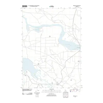
2011 Map of Bruneau
USGS Topo · Published 2011About this map
The Bruneau settlement occupies the south-central portion of this map, situated where the Bruneau River flows northward toward the expansive C J Strike Reservoir. This landscape is defined by the complex water management required for high-desert agriculture, visible through the network of the Buckaroo Ditch and the South Side Canal. Evidence of historic western migration routes is imprinted across the terrain, with the Oregon Trail Rd and segments of the Emigrant Trl traversing the plains. To the west, the Little Valley community is anchored by the Little Valley School, while the northern reaches focus on the reservoir and features like Crane Falls Lake and the Young Landing Area. The presence of Loveridge Bridge and landmarks like Crabb Butte further define the local geography, illustrating the blend of historic transport paths and mid-century irrigation developments.
Find a feature on this map
24 named features on this map. Tap any name to fly to it.
Don’t see what you’re looking for? This feature index may not catch every label — zoom into the map to look around manually.
Map Details
Editions of this 2011 Bruneau Map
This is the sole edition of this map. No revisions or reprints were ever made.
Other maps of this area

1892 · Mountain Home
USGS Topo · 1:125,000

1893 · Mountain Home
USGS Topo · 1:125,000

1946 · Mouth of Bruneau
USGS Topo · 1:24,000

1947 · Little Valley
USGS Topo · 1:24,000

1947 · Bruneau
USGS Topo · 1:62,500

1947 · Sand Dunes
USGS Topo · 1:24,000

1947 · Bruneau
USGS Topo · 1:24,000

1947 · Sugar Valley
USGS Topo · 1:24,000

1947 · Hot Spring
USGS Topo · 1:24,000

1948 · Sand Dunes
USGS Topo · 1:24,000