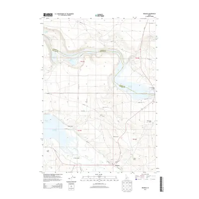
2013 Map of Bruneau
USGS Topo · Published 2013About this map
The Bruneau River flows northward toward its confluence with the Snake River, defining a landscape where historic transit corridors and modern irrigation meet. This 2013 survey illustrates the agricultural vitality of Bruneau Valley and Little Valley, where the Buckaroo Ditch and S Side Canal distribute water across the arid Owyhee County terrain. The map preserves the legacy of westward expansion, tracing the paths of the Emigrant Trl and Oregon Trail Rd as they parallel the river system. To the north, the impounded waters of the C J Strike Reservoir create prominent features like the Bruneau Arm, while smaller bodies of water such as Crane Falls Lake and Cove Arm Lake dot the banks of the Snake. The settlement of Bruneau serves as the local anchor, surrounded by family-named landmarks like Wilkins Gulch and Crabb Butte.
Find a feature on this map
40 named features on this map. Tap any name to fly to it.
Don’t see what you’re looking for? This feature index may not catch every label — zoom into the map to look around manually.
Map Details
Editions of this 2013 Bruneau Map
This is the sole edition of this map. No revisions or reprints were ever made.
Other maps of this area
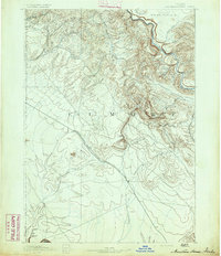
1892 · Mountain Home
USGS Topo · 1:125,000
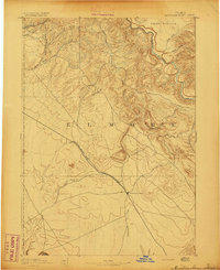
1893 · Mountain Home
USGS Topo · 1:125,000
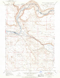
1946 · Mouth of Bruneau
USGS Topo · 1:24,000
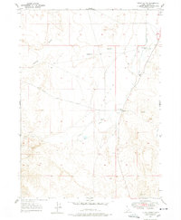
1947 · Little Valley
USGS Topo · 1:24,000
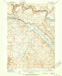
1947 · Bruneau
USGS Topo · 1:62,500
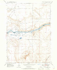
1947 · Sand Dunes
USGS Topo · 1:24,000
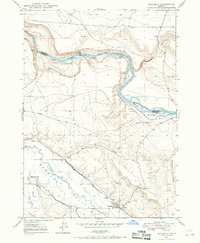
1947 · Bruneau
USGS Topo · 1:24,000
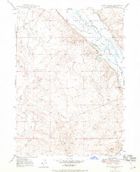
1947 · Sugar Valley
USGS Topo · 1:24,000
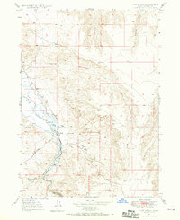
1947 · Hot Spring
USGS Topo · 1:24,000
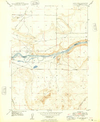
1948 · Sand Dunes
USGS Topo · 1:24,000