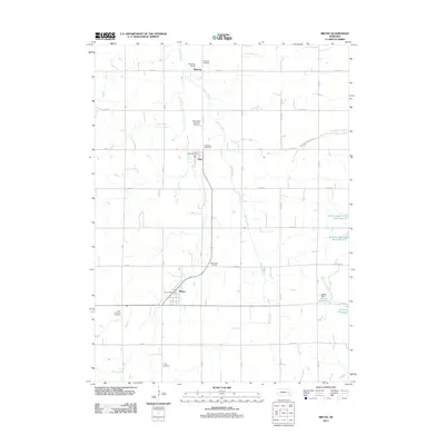
2011 Map of Bruno
USGS Topo · Published 2011About this map
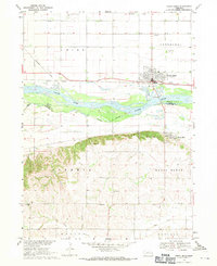
Bruno and Abie anchor this rural landscape in Butler County, where the transition from traditional agriculture to modern water management is visible through numerous reservoirs. The area's cultural history is deeply etched into the land by its many burial grounds, including the Bohemian Cemetery, Saints Peter and Paul Cemetery, and Saint Anthony Cemetery. These sites, along with the Fricke Cemetery and Nimburg Cemetery, serve as significant markers for genealogists tracing family lineages in this part of Nebraska. Drainage is defined by the winding course of Skull Creek and Cottonwood Creek, which feed into several engineered bodies of water like Cottonwood Creek Reservoir 6-E and Jessen Reservoir. The presence of the Abie Sky Ranch and central hubs like the Abie Post Office and Bruno Post Office illustrate the ongoing community structure within this organized grid of county roads.
Find a feature on this map
34 named features on this map. Tap any name to fly to it.
Don’t see what you’re looking for? This feature index may not catch every label — zoom into the map to look around manually.
Map Details
Editions of this 2011 Bruno Map
This is the sole edition of this map. No revisions or reprints were ever made.
Other maps of this area

1899 · Wahoo
USGS Topo · 1:125,000

1899 · David City
USGS Topo · 1:125,000

1955 · Fremont
USGS Topo · 1:250,000

1957 · Fremont
USGS Topo · 1:250,000

1958 · Fremont
USGS Topo · 1:250,000
1965 · Brainard
USGS Topo · 1:24,000

1968 · Bruno
USGS Topo · 1:24,000
1968 · Schuyler
USGS Topo · 1:24,000
1968 · David City East
USGS Topo · 1:24,000
1968 · North Bend
USGS Topo · 1:24,000