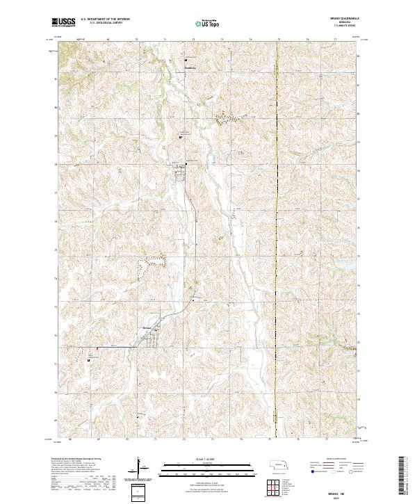
2021 Map of Bruno
USGS Topo · Published 2021About this map
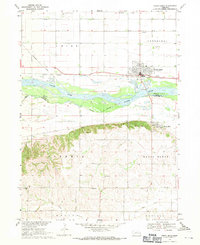
The agrarian landscape of the Butler and Saunders County line is defined by the winding course of Skull Creek and a network of small agricultural settlements. In the south, the village of Bruno is clearly laid out with its grid of streets, including Oak Street and Elm Street, serving as a focal point for the surrounding farmsteads. Further north, the smaller community of Abie and the locale of Nimburg mark the high ground between creek drainages, illustrating the enduring settlement patterns of eastern Nebraska.
Find a feature on this map
49 named features on this map. Tap any name to fly to it.
Don’t see what you’re looking for? This feature index may not catch every label — zoom into the map to look around manually.
Map Details
Editions of this 2021 Bruno Map
This is the sole edition of this map. No revisions or reprints were ever made.
Other maps of this area

1899 · Wahoo
USGS Topo · 1:125,000

1899 · David City
USGS Topo · 1:125,000

1955 · Fremont
USGS Topo · 1:250,000

1957 · Fremont
USGS Topo · 1:250,000

1958 · Fremont
USGS Topo · 1:250,000
1965 · Brainard
USGS Topo · 1:24,000

1968 · Bruno
USGS Topo · 1:24,000
1968 · Schuyler
USGS Topo · 1:24,000
1968 · David City East
USGS Topo · 1:24,000
1968 · North Bend
USGS Topo · 1:24,000