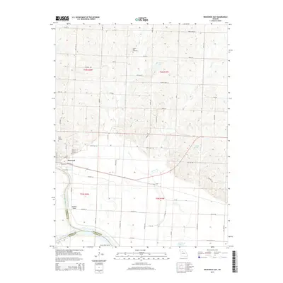
2015 Map of Brunswick East
USGS Topo · Published 2015About this map
The Missouri River and its confluence with the Grand River dictate the landscape of this Chariton County survey. The town of Brunswick sits near the river junction, with the Grand River Bend highlighting the dynamic hydrology of the region. The map preserves the locations of several burial grounds essential for genealogical research, including Prairie Dell Cemetery to the north and the Brunswick City Cemetery and Elliott Grove Cemetery on the western edge. Inland, the terrain is shaped by the winding paths of Lake Cr and Palmer Cr, which feed into various oxbows and water bodies like Agee Lake and Reische Lake. This area reflects a Missouri riverfront economy where the naming of Grand Port and roads like Steamboat Ave and Keelboat RD point to a legacy of waterborne transport and trade.
Find a feature on this map
43 named features on this map. Tap any name to fly to it.
Don’t see what you’re looking for? This feature index may not catch every label — zoom into the map to look around manually.
Map Details
Editions of this 2015 Brunswick East Map
This is the sole edition of this map. No revisions or reprints were ever made.
Other maps of this area
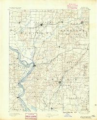
1890 · Glasgow
USGS Topo · 1:125,000
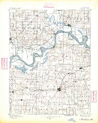
1890 · Marshall
USGS Topo · 1:125,000
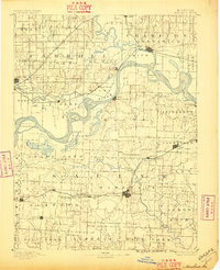
1892 · Marshall
USGS Topo · 1:125,000
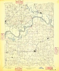
1901 · Marshall
USGS Topo · 1:125,000
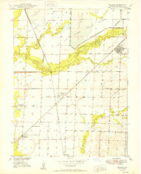
1949 · Mendon
USGS Topo · 1:24,000
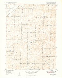
1949 · Indian Grove
USGS Topo · 1:24,000
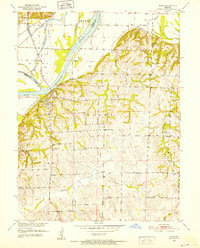
1951 · Miami
USGS Topo · 1:24,000
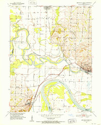
1951 · Brunswick West
USGS Topo · 1:24,000
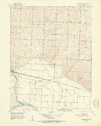
1951 · Brunswick East
USGS Topo · 1:24,000
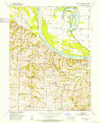
1951 · New Frankfort
USGS Topo · 1:24,000