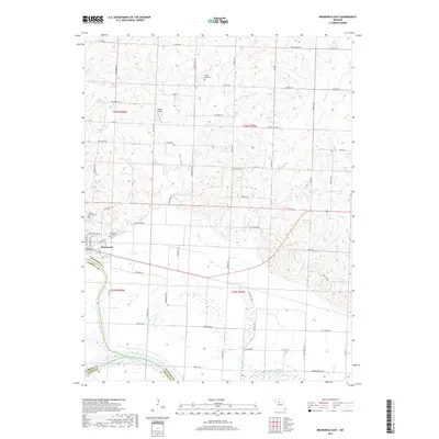
2017 Map of Brunswick East
USGS Topo · Published 2017About this map
Brunswick anchors the western edge of this Missouri landscape, situated near the significant confluence of the Grand River and the Missouri River. The area is characterized by a transition from the river bottomlands to the north where a grid of rural roads, including W Wind Rd and Co Rd 230, services agricultural tracts and scattered landmarks. Genealogists will find several burial sites noted, such as Brunswick City Cem and the Elliott Grove Cem near the town center, as well as the more remote Prairie Dell Cem to the north.
Find a feature on this map
66 named features on this map. Tap any name to fly to it.
Don’t see what you’re looking for? This feature index may not catch every label — zoom into the map to look around manually.
Map Details
Editions of this 2017 Brunswick East Map
This is the sole edition of this map. No revisions or reprints were ever made.
Other maps of this area
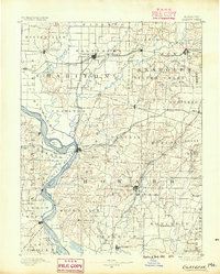
1890 · Glasgow
USGS Topo · 1:125,000
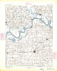
1890 · Marshall
USGS Topo · 1:125,000
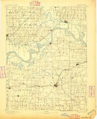
1892 · Marshall
USGS Topo · 1:125,000
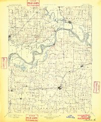
1901 · Marshall
USGS Topo · 1:125,000
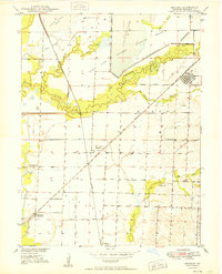
1949 · Mendon
USGS Topo · 1:24,000
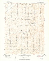
1949 · Indian Grove
USGS Topo · 1:24,000
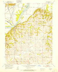
1951 · Miami
USGS Topo · 1:24,000
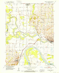
1951 · Brunswick West
USGS Topo · 1:24,000
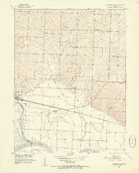
1951 · Brunswick East
USGS Topo · 1:24,000
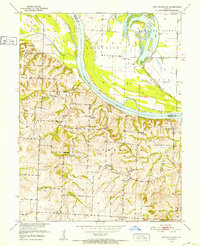
1951 · New Frankfort
USGS Topo · 1:24,000