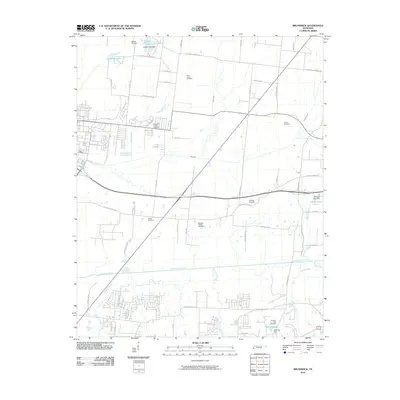
2010 Map of Brunswick
USGS Topo · Published 2010About this map
The Loosahatchie River meanders through this portion of Shelby County, defining a landscape where small tributaries like Buckhead Creek and Casper Creek drain toward its basin. The area is characterized by a high concentration of established family and community burial grounds, including Bethuel Cemetery, Noahs Cemetery, and Saint James Cemetery. These sites are linked by a network of long-standing rural routes such as Old Brownsville Rd and Covington Pike Rd. Small private reservoirs and dams punctuate the terrain, notably Casper Lake in the north and Downing Lake in the south, reflecting local land management for water control and recreation. The residential growth patterns are visible in the suburban subdivisions beginning to transition the traditional agricultural layout into the contemporary fabric of Bartlett.
Find a feature on this map
56 named features on this map. Tap any name to fly to it.
Don’t see what you’re looking for? This feature index may not catch every label — zoom into the map to look around manually.
Map Details
Editions of this 2010 Brunswick Map
This is the sole edition of this map. No revisions or reprints were ever made.
Other maps of this area

1942 · Millington
USGS Topo · 1:62,500

1943 · Collierville
USGS Topo · 1:62,500

1953 · Collierville
USGS Topo · 1:50,000

1954 · Mason
USGS Topo · 1:62,500

1956 · Blytheville
USGS Topo · 1:250,000

1959 · Blytheville
USGS Topo · 1:250,000

1960 · Bartlett
USGS Topo · 1:62,500

1960 · Millington
USGS Topo · 1:62,500

1961 · Bartlett
USGS Topo · 1:62,500

1965 · Brighton
USGS Topo · 1:24,000