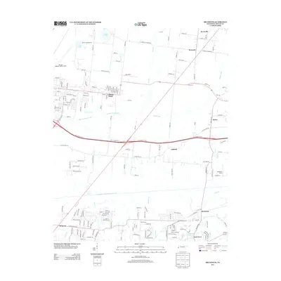
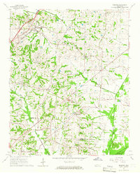
2013 Map of Brunswick
USGS Topo · Published 2013About this map
The settlement of Brunswick anchors the southeastern corner of this map, reflecting a landscape defined by small rural hubs and the extensive water management systems of northeast Shelby County. Numerous small communities including Barretville, Rosemark, and Gildfield are connected by a network of local roads such as Kerrville Rosemark Rd and Old Brownsville Rd. The presence of several small airfields, including the Millington Regional Jetport Airport and Needham's Airport, speaks to the region's diverse infrastructure.
Find a feature on this map
42 named features on this map. Tap any name to fly to it.
Don’t see what you’re looking for? This feature index may not catch every label — zoom into the map to look around manually.
Map Details
Editions of this 2013 Brunswick Map
This is the sole edition of this map. No revisions or reprints were ever made.
Other maps of this area
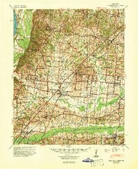
1942 · Millington
USGS Topo · 1:62,500
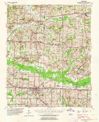
1943 · Collierville
USGS Topo · 1:62,500
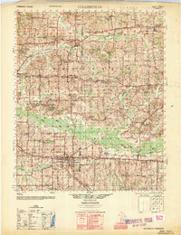
1953 · Collierville
USGS Topo · 1:50,000
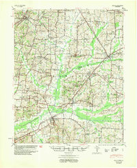
1954 · Mason
USGS Topo · 1:62,500

1956 · Blytheville
USGS Topo · 1:250,000

1959 · Blytheville
USGS Topo · 1:250,000
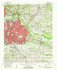
1960 · Bartlett
USGS Topo · 1:62,500
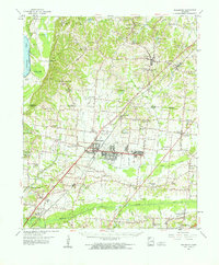
1960 · Millington
USGS Topo · 1:62,500
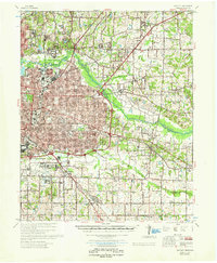
1961 · Bartlett
USGS Topo · 1:62,500
1965 · Brighton
USGS Topo · 1:24,000