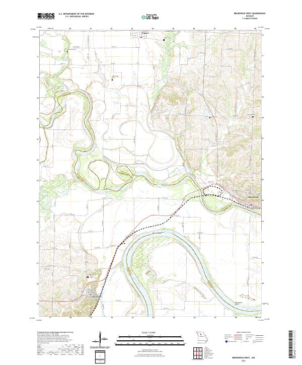
2021 Map of Brunswick West
USGS Topo · Published 2021About this map
Dewitt Bend and the Missouri River dominate this recent landscape, showing the complex riverine geography where the Grand River and Wakenda Chute meet the main channel. The settlement of De Witt is positioned near the river's edge, while Triplett sits to the north and Brunswick occupies the eastern boundary. The terrain is marked by numerous family-named burial sites including Evergreen Cem, Fleetwood Cem, and Allega Cem, which offer significant value for genealogical research in Chariton and Carroll counties.
Find a feature on this map
68 named features on this map. Tap any name to fly to it.
Don’t see what you’re looking for? This feature index may not catch every label — zoom into the map to look around manually.
Map Details
Editions of this 2021 Brunswick West Map
This is the sole edition of this map. No revisions or reprints were ever made.
Other maps of this area

1890 · Marshall
USGS Topo · 1:125,000

1892 · Marshall
USGS Topo · 1:125,000

1901 · Marshall
USGS Topo · 1:125,000

1924 · Hale
USGS Topo · 1:62,500

1949 · Mendon
USGS Topo · 1:24,000

1949 · Indian Grove
USGS Topo · 1:24,000

1950 · Hale
USGS Topo · 1:24,000

1951 · Hale
USGS Topo · 1:24,000

1951 · Bosworth
USGS Topo · 1:24,000

1951 · Miami
USGS Topo · 1:24,000