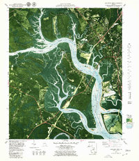
1979 Map of Brunswick West
USGS Topo · Published 1980About this map
The Buffalo River and Turtle River dominate this coastal landscape west of Brunswick, where intricate tidal networks define the boundaries of Colonels Island and Blythe Island State Park. This orthophoto-topographic study captures the industrial and natural geography of Glynn County in the late 1970s, illustrating the heavy footprint of dredging and land management near Andrews Island and several Industrial Waste Ponds. The rail corridor of the Seaboard Coast Line cuts through the northern marshlands, connecting at Southern Junction near local landmarks like the Water Tank and Sewage Disposal Pond. Local history and genealogy interest is concentrated in the small communities and rural congregations such as Galilee Ch, Springhill Ch, and Dahlke Chapel that border the sprawling marshes of Buffalo Swamp.
Find a feature on this map
40 named features on this map. Tap any name to fly to it.
Don’t see what you’re looking for? This feature index may not catch every label — zoom into the map to look around manually.
Map Details
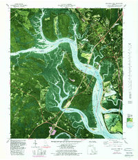
Editions of this 1979 Brunswick West Map
2 editions found
Other maps of this area

1918 · Everett City
USGS Topo · 1:62,500

1918 · Bladen
USGS Topo · 1:62,500

1920 · Everett City
USGS Topo · 1:62,500

1921 · Darien
USGS Topo · 1:62,500

1939 · Bladen
USGS Topo · 1:62,500

1944 · Everett City
USGS Topo · 1:62,500

1945 · Brunswick
USGS Topo · 1:62,500

1946 · Brunswick
USGS Topo · 1:250,000

1948 · Brunswick
USGS Topo · 1:250,000
1956 · Bladen
USGS Topo · 1:24,000