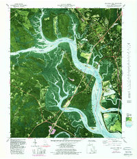
1979 Map of Brunswick West
USGS Topo · Published 1988About this map
The complex wetland geography of coastal Glynn County is defined here by the confluence of the Turtle River, Buffalo River, and South Brunswick River. This 1970s landscape shows the intricate relationship between industrial expansion and the natural marshland, with industrial waste ponds and a spoil area situated alongside the sprawling Pyles Marsh and Buffalo Swamp. The area around Southern Junction serves as a transportation focal point, while more isolated settlements like Hermitage and Glynn Camp are tucked between the winding waterways of Hillery Cr and Hillery Slough. Significant local landmarks include Blythe Island County Park and the U S Reservation, alongside several religious and burial sites such as Springhill Ch, Galilee Ch, and Blue Cem that provide valuable points of reference for local genealogy and land-use history.
Find a feature on this map
61 named features on this map. Tap any name to fly to it.
Don’t see what you’re looking for? This feature index may not catch every label — zoom into the map to look around manually.
Map Details
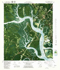
Editions of this 1979 Brunswick West Map
2 editions found
Other maps of this area

1918 · Everett City
USGS Topo · 1:62,500

1918 · Bladen
USGS Topo · 1:62,500

1920 · Everett City
USGS Topo · 1:62,500

1921 · Darien
USGS Topo · 1:62,500

1939 · Bladen
USGS Topo · 1:62,500

1944 · Everett City
USGS Topo · 1:62,500

1945 · Brunswick
USGS Topo · 1:62,500

1946 · Brunswick
USGS Topo · 1:250,000

1948 · Brunswick
USGS Topo · 1:250,000
1956 · Bladen
USGS Topo · 1:24,000