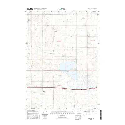
2016 Map of Brush Creek
USGS Topo · Published 2016About this map
Walnut Lake and S Walnut Lake anchor the central landscape of this Faribault County region, where the E Br Blue Earth River flows through the southern terrain. This survey reflects the enduring agricultural and civic structure of the area, centered around the settlement of Brush Creek. The map is particularly useful for genealogical research, documenting several distinct burial sites including the Walnut Lake Methodist Cem, the Walnut Lake Cem, and the North Blue Earth Lutheran Cem. A grid of county roads, such as Co RD 16 and Co RD 21, connects these rural landmarks to the Wells Municipal Airport in the northern corner. The drainage patterns of Foster Cr and the surrounding wetlands illustrate the hydrological character of the basin as it appeared in the mid-2010s.
Find a feature on this map
36 named features on this map. Tap any name to fly to it.
Don’t see what you’re looking for? This feature index may not catch every label — zoom into the map to look around manually.
Map Details
Editions of this 2016 Brush Creek Map
This is the sole edition of this map. No revisions or reprints were ever made.
Other maps of this area
1954 · Mason City
USGS Topo · 1:250,000
1955 · Bricelyn
USGS Topo · 1:62,500
1955 · Wells
USGS Topo · 1:62,500
1957 · Mason City
USGS Topo · 1:250,000
1958 · Mason City
USGS Topo · 1:250,000
1967 · Minnesota Lake
USGS Topo · 1:24,000
1967 · Matawan
USGS Topo · 1:24,000
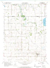
1967 · Easton
USGS Topo · 1:24,000
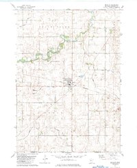
1982 · Bricelyn
USGS Topo · 1:24,000
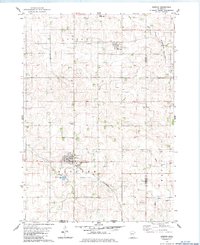
1982 · Kiester
USGS Topo · 1:24,000