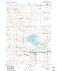
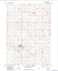
1982 Map of Brush Creek
USGS Topo · Published 1983About this map
The agricultural landscape of Faribault County is defined here by the extensive Walnut Lake State Wildlife Management Area, which encompasses Walnut Lake and South Walnut Lake. This early 1980s topography reveals a region deeply tied to its water resources, from the winding course of the Blue Earth River and Foster Creek to the artificial engineering of County Ditch No 20 and County Ditch No 37.
Find a feature on this map
24 named features on this map. Tap any name to fly to it.
Don’t see what you’re looking for? This feature index may not catch every label — zoom into the map to look around manually.
Map Details
Editions of this 1982 Brush Creek Map
This is the sole edition of this map. No revisions or reprints were ever made.
Other maps of this area

1954 · Mason City
USGS Topo · 1:250,000

1955 · Bricelyn
USGS Topo · 1:62,500

1955 · Wells
USGS Topo · 1:62,500

1957 · Mason City
USGS Topo · 1:250,000

1958 · Mason City
USGS Topo · 1:250,000

1967 · Minnesota Lake
USGS Topo · 1:24,000
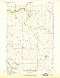
1967 · Matawan
USGS Topo · 1:24,000
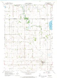
1967 · Easton
USGS Topo · 1:24,000
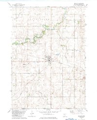
1982 · Bricelyn
USGS Topo · 1:24,000
1982 · Kiester
USGS Topo · 1:24,000