
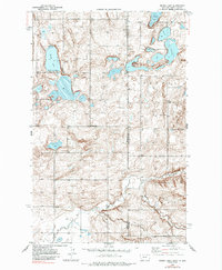
1946 Map of Brush Lake
USGS Topo · Published 1955About this map
The high plains along the Montana North Dakota border are defined by a scattered network of glacial prairie potholes and rural section-line roads in this 1946 survey. The area around Brush Lake serves as a local focal point, featuring the Brush Lake Resort on its eastern shore. This landscape is a patchwork of small-scale water bodies like Twin Lakes and Horseshoe Lake, interspersed with the vital community infrastructure of the mid-century homesteading era.
Find a feature on this map
14 named features on this map. Tap any name to fly to it.
Don’t see what you’re looking for? This feature index may not catch every label — zoom into the map to look around manually.
Map Details
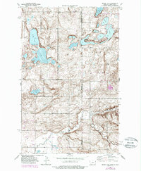
Editions of this 1946 Brush Lake Map
3 editions found
Other maps of this area

1946 · Dagmar
USGS Topo · 1:24,000

1948 · Grenora
USGS Topo · 1:24,000

1948 · Dagmar
USGS Topo · 1:24,000

1948 · Brush Lake
USGS Topo · 1:24,000

1948 · Sunnyhill School
USGS Topo · 1:24,000

1949 · Sunnyhill School
USGS Topo · 1:24,000

1953 · Williston
USGS Topo · 1:250,000

1954 · Wolf Point
USGS Topo · 1:250,000

1957 · Williston
USGS Topo · 1:250,000

1958 · Wolf Point
USGS Topo · 1:250,000