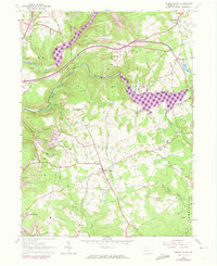
1963 Map of Brush Valley
USGS Topo · Published 1973About this map
Brush Valley and Penn Run anchor this mid-century portrait of Indiana County, where agricultural valleys are marked by an increasing industrial footprint. The landscape is defined by the winding course of Two Lick Creek and Yellow Creek, which carved the surrounding hills. By the early 1960s, extensive strip mines began to reshape the terrain between Luciusboro and Mentch, while a complex network of infrastructure, including the Yellow Creek Railroad and multiple pipelines, highlights the area's role in regional resource extraction. Genealogists will find a wealth of local data in the numerous family and community burial grounds, such as Harmony Cem, Cresswell Cem, and Frye Cem, which remain scattered across the rural townships of Cherryhill and Brushvalley.
Find a feature on this map
45 named features on this map. Tap any name to fly to it.
Don’t see what you’re looking for? This feature index may not catch every label — zoom into the map to look around manually.
Map Details
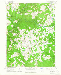
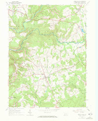
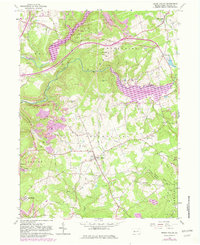
Editions of this 1963 Brush Valley Map
4 editions found
Other maps of this area

1902 · Indiana
USGS Topo · 1:62,500

1902 · Barnesboro
USGS Topo · 1:62,500

1904 · Barnesboro
USGS Topo · 1:62,500

1904 · Johnstown
USGS Topo · 1:62,500

1907 · Johnstown
USGS Topo · 1:62,500

1920 · New Florence
USGS Topo · 1:62,500

1921 · New Florence
USGS Topo · 1:48,000

1922 · New Florence
USGS Topo · 1:62,500

1943 · Punxsutawney
USGS Topo · 1:125,000

1944 · New Florence
USGS Topo · 1:62,500
Featured Places
- Brush Valley Township, PA
- Rico, Brush Valley Township
- Center Township, PA
- Suncliff, Brush Valley Township
- Cherryhill Township, PA