
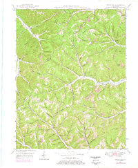
1949 Map of Brushart
USGS Topo · Published 1968About this map
Beauty Ridge and Zion Ridge dominate the landscape of this late 1940s survey of the Lewis and Greenup County border. The map reveals a deeply etched topography of hollows and branches, where life was organized around small upland settlements like Whiteoak, York, and Brushart. This era shows a network of one-room schoolhouses and family burial grounds that served isolated hollow-dwelling communities, including the Kenton-Furnace Sch, Logan Sch, and Hampshire Sch.
Find a feature on this map
104 named features on this map. Tap any name to fly to it.
Don’t see what you’re looking for? This feature index may not catch every label — zoom into the map to look around manually.
Map Details
Editions of this 1949 Brushart Map
2 editions found
Other maps of this area

1903 · Kenova
USGS Topo · 1:125,000

1904 · Kenova
USGS Topo · 1:125,000

1915 · Garrison
USGS Topo · 1:62,500

1918 · Garrison
USGS Topo · 1:62,500

1926 · Greenup
USGS Topo · 1:48,000

1930 · Greenup
USGS Topo · 1:62,500

1949 · Pond Run
USGS Topo · 1:24,000

1949 · Garrison
USGS Topo · 1:24,000

1949 · Friendship
USGS Topo · 1:24,000

1950 · Brushart
USGS Topo · 1:24,000