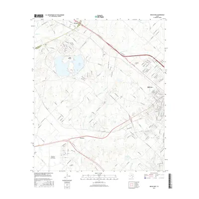
2016 Map of Bryan West
USGS Topo · Published 2016About this map
The western edges of Bryan and the surrounding Brazos County countryside are defined by a mix of infrastructure and rural tradition in this mid-2010s survey. The landscape is notably punctuated by water management and aviation history, including the Texas A & M Flight Test Station Airport and the large footprint of Lake Bryan and the adjacent Bryan Utilities Lake. These reservoirs, along with Thompsons Creek and Still Creek, trace the drainage patterns that have shaped land use in this part of Texas.
Find a feature on this map
175 named features on this map. Tap any name to fly to it.
Don’t see what you’re looking for? This feature index may not catch every label — zoom into the map to look around manually.
Map Details
Editions of this 2016 Bryan West Map
This is the sole edition of this map. No revisions or reprints were ever made.
Other maps of this area

1954 · Austin
USGS Topo · 1:250,000
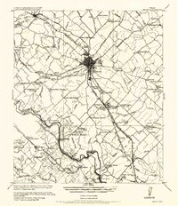
1956 · Bryan
USGS Topo · 1:62,500
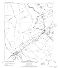
1956 · Caldwell
USGS Topo · 1:62,500
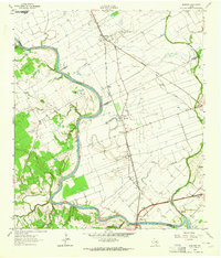
1961 · Mumford
USGS Topo · 1:24,000
1961 · Hearne South
USGS Topo · 1:24,000
1961 · Wellborn
USGS Topo · 1:24,000
1962 · Tunis
USGS Topo · 1:24,000
1962 · Chances Store
USGS Topo · 1:24,000
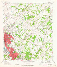
1962 · Bryan East
USGS Topo · 1:24,000
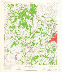
1962 · Bryan West
USGS Topo · 1:24,000