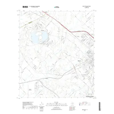
2019 Map of Bryan West
USGS Topo · Published 2019About this map
Lake Bryan serves as a central hydrological feature for this portion of the Brazos Valley, surrounded by a network of drainage systems like Thompsons Creek and Still Creek. The map documents the western residential and industrial expansion of Bryan and the northern reaches of College Station, where suburban street grids meet the rural transition of the Robertson and Brazos county line.
Find a feature on this map
181 named features on this map. Tap any name to fly to it.
Don’t see what you’re looking for? This feature index may not catch every label — zoom into the map to look around manually.
Map Details
Editions of this 2019 Bryan West Map
This is the sole edition of this map. No revisions or reprints were ever made.
Other maps of this area

1954 · Austin
USGS Topo · 1:250,000
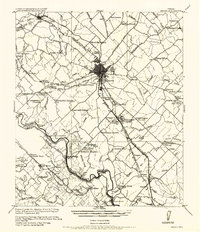
1956 · Bryan
USGS Topo · 1:62,500
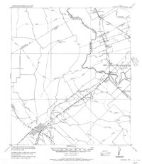
1956 · Caldwell
USGS Topo · 1:62,500
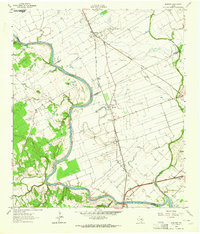
1961 · Mumford
USGS Topo · 1:24,000
1961 · Hearne South
USGS Topo · 1:24,000
1961 · Wellborn
USGS Topo · 1:24,000
1962 · Tunis
USGS Topo · 1:24,000
1962 · Chances Store
USGS Topo · 1:24,000
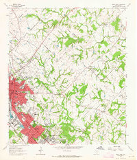
1962 · Bryan East
USGS Topo · 1:24,000
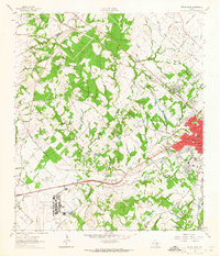
1962 · Bryan West
USGS Topo · 1:24,000