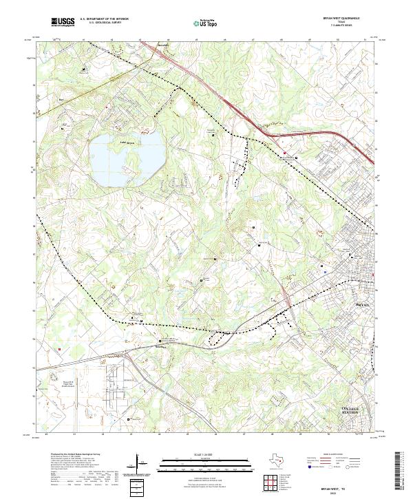
2022 Map of Bryan West
USGS Topo · Published 2022About this map
The western edges of Bryan and College Station reveal a complex rural-to-urban landscape along the Robertson and Brazos county line. Central to the map is Lake Bryan, a major water body surrounded by numerous family and community burial sites that speak to the area's ancestral roots. These include the Smetana Cem African American Section, Mount Calvary Smetana Cem, and the Henry - Peyton Cem to the northwest. To the southwest, the Texas A & M Flight Test Station Airport anchors the landscape near the settlement of Smetana. The drainage of Thompsons Cr and its tributaries, such as Cottonwood Br and Still Cr, creates a network of creek beds and small lakes like Lake Mary and Smith Lake. The transit corridor of the N Earl Rudder Fwy cuts diagonally through the northeast, connecting the larger urban centers with northern rural outposts.
Find a feature on this map
201 named features on this map. Tap any name to fly to it.
Don’t see what you’re looking for? This feature index may not catch every label — zoom into the map to look around manually.
Map Details
Editions of this 2022 Bryan West Map
This is the sole edition of this map. No revisions or reprints were ever made.
Other maps of this area

1954 · Austin
USGS Topo · 1:250,000

1956 · Bryan
USGS Topo · 1:62,500

1956 · Caldwell
USGS Topo · 1:62,500

1961 · Mumford
USGS Topo · 1:24,000

1961 · Hearne South
USGS Topo · 1:24,000

1961 · Wellborn
USGS Topo · 1:24,000
1962 · Tunis
USGS Topo · 1:24,000
1962 · Chances Store
USGS Topo · 1:24,000

1962 · Bryan East
USGS Topo · 1:24,000
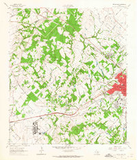
1962 · Bryan West
USGS Topo · 1:24,000