
1970 Map of Bryant
USGS Topo · Published 1976About this map
Bryant and Pelican Lake anchor this 1970s orthophotomap, which reveals the stark, grid-like geometry of large-scale agriculture in the Florida Everglades. The landscape is dominated by the West Palm Beach Canal slicing diagonally through the terrain, supported by an intricate network of secondary canals and numerous water pumps. This infrastructure illustrates the intensive water management required to maintain the region's agricultural productivity, punctuated by localized industrial features like the Industrial Waste Ponds and a Landing Strip serving the local settlement. The transition from natural wetlands to a highly engineered environment is clear, with the Hatton Highway and various private access roads providing the primary transit routes through the vast, repeating sections of cultivated land.
Find a feature on this map
15 named features on this map. Tap any name to fly to it.
Don’t see what you’re looking for? This feature index may not catch every label — zoom into the map to look around manually.
Map Details
Editions of this 1970 Bryant Map
This is the sole edition of this map. No revisions or reprints were ever made.
Other maps of this area

1956 · West Palm Beach
USGS Topo · 1:250,000

1957 · West Palm Beach
USGS Topo · 1:250,000

1958 · West Palm Beach
USGS Topo · 1:250,000

1970 · Belle Glade
USGS Topo · 1:24,000

1970 · West Palm Beach 2 SW
USGS Topo · 1:24,000

1970 · Loxahatchee NW
USGS Topo · 1:24,000

1970 · Pahokee
USGS Topo · 1:24,000

1970 · Sixmile Bend
USGS Topo · 1:24,000
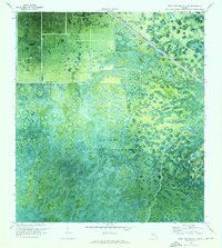
1970 · West Palm Beach 2 NW
USGS Topo · 1:24,000
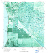
1971 · Port Mayaca
USGS Topo · 1:24,000