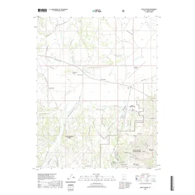
2020 Map of Bryce Canyon
USGS Topo · Published 2020About this map
Bryce Canyon National Park and Dixie National Forest anchor this high-altitude landscape of the Paunsaugunt Plateau. The settlement of Bryce Canyon City serves as a gateway to the famous geological formations of the Pink Cliffs, including landmarks such as Sunrise Point, Tower Bridge, and the Chinese Wall. This survey reveals a dense network of multi-use infrastructure, from the Bryce Canyon Airport in Johns Valley to specialized routes like the Red Canyon Bike Trail and various snowmobile paths. The drainage system is defined by the E Fork Sevier River and its tributaries, while the Tropic Ditch provides evidence of human water management in this arid environment. Genealogy researchers will find the Bryce Canyon City Cem located near the town center.
Find a feature on this map
62 named features on this map. Tap any name to fly to it.
Don’t see what you’re looking for? This feature index may not catch every label — zoom into the map to look around manually.
Map Details
Editions of this 2020 Bryce Canyon Map
This is the sole edition of this map. No revisions or reprints were ever made.
Other maps of this area

1886 · Kanab
USGS Topo · 1:250,000

1953 · Cedar City
USGS Topo · 1:250,000

1958 · Cedar City
USGS Topo · 1:250,000

1962 · Cedar City
USGS Topo · 1:250,000
1966 · Cannonville
USGS Topo · 1:24,000

1966 · Wilson Peak
USGS Topo · 1:24,000
1966 · Bryce Canyon
USGS Topo · 1:24,000
1966 · Tropic Canyon
USGS Topo · 1:24,000
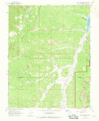
1966 · Tropic Reservoir
USGS Topo · 1:24,000
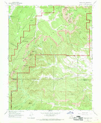
1966 · Bryce Point
USGS Topo · 1:24,000