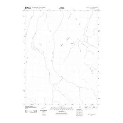
2011 Map of Bryson Canyon
USGS Topo · Published 2011About this map
The Book Cliffs dominate this eastern Utah landscape, forming a massive natural escarpment that dictates the flow of water and the path of infrastructure. In this 2011 survey, the industrial character of the region is evident through the Stateline Gas Field, where roads like Bookcliff Ridge Rd and Perry Disens Rd provide access to energy resources across the high desert.
Find a feature on this map
21 named features on this map. Tap any name to fly to it.
Don’t see what you’re looking for? This feature index may not catch every label — zoom into the map to look around manually.
Map Details
Editions of this 2011 Bryson Canyon Map
This is the sole edition of this map. No revisions or reprints were ever made.
Other maps of this area
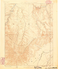
1885 · East Tavaputs
USGS Topo · 1:250,000

1956 · Grand Junction
USGS Topo · 1:250,000

1959 · Grand Junction
USGS Topo · 1:250,000

1960 · Grand Junction
USGS Topo · 1:250,000
1962 · Grand Junction
USGS Topo · 1:250,000
1964 · Grand Junction
USGS Topo · 1:250,000
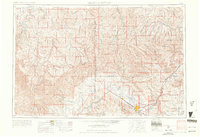
1965 · Grand Junction
USGS Topo · 1:250,000
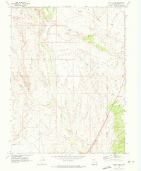
1970 · Harley Dome
USGS Topo · 1:24,000
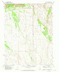
1970 · Bar X Wash
USGS Topo · 1:24,000
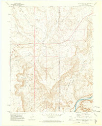
1970 · Bitter Creek Well
USGS Topo · 1:24,000