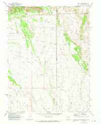
1970 Map of Bar X Wash
USGS Topo · Published 1973About this map
Stateline Gas Field and the Bar X Gas Field dominate this 1970 landscape, where the state boundary between Utah and Colorado cuts through a network of energy extraction. This high-desert region is defined by its industrial infrastructure, with numerous gas wells, drill holes, and pipelines crisscrossing the drainages of Bitter Creek and Bar X Wash. The northern edge of the map is marked by the dramatic rise of the Book Cliffs, creating a sharp topographical boundary above the gas fields. In the east, Prarie Canyon carves into the plateau near the Grand and Mesa county line. The presence of a Jeep Trail and various unimproved routes suggests a remote area primarily accessed for resource management and surveying during the peak of regional gas exploration. Smaller drainages like Wild Cow Wash and Winter Camp Draw further illustrate the complex erosional patterns of the Colorado Plateau.
Find a feature on this map
17 named features on this map. Tap any name to fly to it.
Don’t see what you’re looking for? This feature index may not catch every label — zoom into the map to look around manually.
Map Details
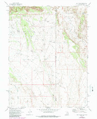
Editions of this 1970 Bar X Wash Map
2 editions found
Other maps of this area

1885 · East Tavaputs
USGS Topo · 1:250,000

1956 · Grand Junction
USGS Topo · 1:250,000

1959 · Grand Junction
USGS Topo · 1:250,000

1960 · Grand Junction
USGS Topo · 1:250,000

1962 · Grand Junction
USGS Topo · 1:250,000

1964 · Grand Junction
USGS Topo · 1:250,000

1965 · Grand Junction
USGS Topo · 1:250,000

1968 · Badger Wash
USGS Topo · 1:24,000
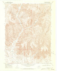
1968 · Carbonera
USGS Topo · 1:24,000
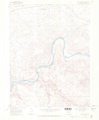
1968 · Ruby Canyon
USGS Topo · 1:24,000