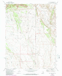
1970 Map of Bar X Wash
USGS Topo · Published 1987About this map
The Stateline Gas Field and Bar X Gas Field dominate this desert landscape where the borders of Grand and Garfield Counties in Utah meet Mesa County, Colorado. The terrain is defined by the dramatic ascent of the Book Cliffs and the deep incisions of Prairie Canyon and Jim Canyon. This 1970s-era data, updated in the late 1980s, reveals a network of industrial development carved into the arid brush, featuring numerous Gas Wells, Drill Holes, and unnamed pipelines. Waterways like Bar X Wash, Bitter Creek, and Winter Camp Draw suggest the ephemeral drainage patterns typical of the region. The map also records a primitive transportation network, consisting primarily of a Jeep Trail winding through the canyons, reflecting a period of intense energy exploration in this borderland area.
Find a feature on this map
17 named features on this map. Tap any name to fly to it.
Don’t see what you’re looking for? This feature index may not catch every label — zoom into the map to look around manually.
Map Details
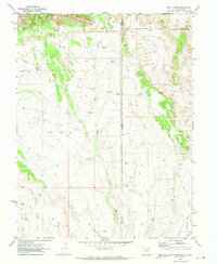
Editions of this 1970 Bar X Wash Map
2 editions found
Other maps of this area

1885 · East Tavaputs
USGS Topo · 1:250,000

1956 · Grand Junction
USGS Topo · 1:250,000

1959 · Grand Junction
USGS Topo · 1:250,000

1960 · Grand Junction
USGS Topo · 1:250,000

1962 · Grand Junction
USGS Topo · 1:250,000

1964 · Grand Junction
USGS Topo · 1:250,000

1965 · Grand Junction
USGS Topo · 1:250,000

1968 · Badger Wash
USGS Topo · 1:24,000
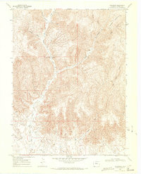
1968 · Carbonera
USGS Topo · 1:24,000
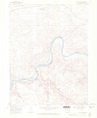
1968 · Ruby Canyon
USGS Topo · 1:24,000