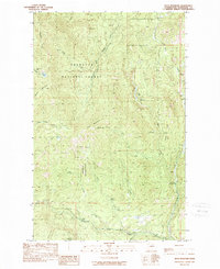
1989 Map of Buck Mountain
USGS Topo · Published 1989About this map
Okanogan National Forest covers much of this high-elevation terrain, where steep ridges and deep creek drainages define the landscape. A prominent local landmark, the Buck Lookout Tower 6135 stands atop Buck Mountain, overlooking a network of water sources including Spike Spring, Squirrel Spring, and the headwaters of Loup Loup Creek. The map documents a blend of conservation and recreation, evidenced by the Pixley Sportsman Park and campgrounds such as Rock Creek and Rock Lakes.
Find a feature on this map
28 named features on this map. Tap any name to fly to it.
Don’t see what you’re looking for? This feature index may not catch every label — zoom into the map to look around manually.
Map Details
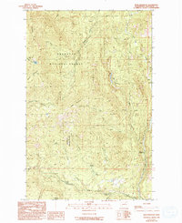
Editions of this 1989 Buck Mountain Map
2 editions found
Other maps of this area

1905 · Okanogan
USGS Topo · 1:125,000

1906 · Chopaka
USGS Topo · 1:125,000

1954 · Okanogan
USGS Topo · 1:250,000

1956 · Loup Loup
USGS Topo · 1:62,500

1956 · Tiffany Mountain
USGS Topo · 1:62,500

1957 · Okanogan
USGS Topo · 1:62,500

1957 · Conconully
USGS Topo · 1:62,500

1958 · Okanogan
USGS Topo · 1:250,000
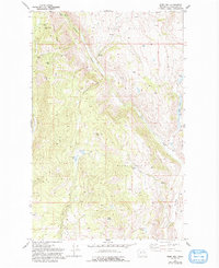
1980 · Ruby Hill
USGS Topo · 1:24,000
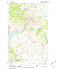
1981 · Conconully East
USGS Topo · 1:24,000