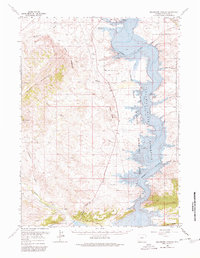
1966 Map of Buckboard Crossing
USGS Topo · Published 1980About this map
Flaming Gorge Reservoir dominates this high-desert landscape, captured during the decade following the completion of the dam that transformed the Green River valley. The map documents a transition from traditional land uses to recreational development, visible in the establishment of the Flaming Gorge National Recreation Area and infrastructure like the Buckboard Boat Ramp and Squaw Hollow Boat Ramp.
Find a feature on this map
31 named features on this map. Tap any name to fly to it.
Don’t see what you’re looking for? This feature index may not catch every label — zoom into the map to look around manually.
Map Details
Editions of this 1966 Buckboard Crossing Map
2 editions found

Other maps of this area

1885 · Ashley
USGS Topo · 1:250,000

1906 · Marsh Peak
USGS Topo · 1:125,000

1908 · Marsh Peak
USGS Topo · 1:125,000

1952 · Dutch John Mtn
USGS Topo · 1:24,000

1952 · Flaming Gorge
USGS Topo · 1:24,000

1954 · Vernal
USGS Topo · 1:250,000

1954 · Rock Springs
USGS Topo · 1:250,000

1957 · Currant Creek Ranch
USGS Topo · 1:62,500

1957 · Mc Kinnon Junction
USGS Topo · 1:62,500

1957 · Firehole Basin
USGS Topo · 1:62,500