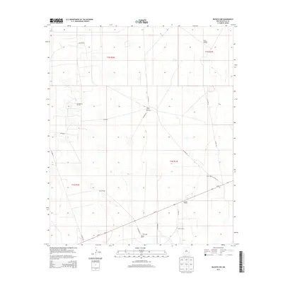
2013 Map of Buckeye NW
USGS Topo · Published 2013About this map
Edson Ranch and Martin Ranch anchor this landscape of the High Plains, where the expansive ranching tradition meets the industrial reach of the Permian Basin. The region is characterized by its vital water infrastructure, with essential landmarks like the East Windmill and Bulltrap Windmill providing the necessary resources for livestock across the arid terrain. Energy production is a defining feature of the local economy, evidenced by the presence of the East Anderson Oil Field and the South Saunders Oil Field. Transportation follows a geometric grid of county roads, including Co Road 118 and Co Road 122, which facilitate movement between these remote production sites and the larger arterial of Us-82. Further south, the Paschall Ranch sits near the Radio Tower, marking a intersection of modern telecommunications and legacy land holdings.
Find a feature on this map
24 named features on this map. Tap any name to fly to it.
Don’t see what you’re looking for? This feature index may not catch every label — zoom into the map to look around manually.
Map Details
Editions of this 2013 Buckeye NW Map
This is the sole edition of this map. No revisions or reprints were ever made.
Other maps of this area

1954 · Hobbs
USGS Topo · 1:250,000

1954 · Brownfield
USGS Topo · 1:250,000

1958 · Brownfield
USGS Topo · 1:250,000

1958 · Hobbs
USGS Topo · 1:250,000

1962 · Brownfield
USGS Topo · 1:250,000
1962 · Buckeye
USGS Topo · 1:62,500
1963 · Maljamar
USGS Topo · 1:62,500
1973 · Fort Ranch
USGS Topo · 1:24,000
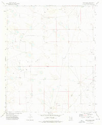
1973 · Dean Ranch
USGS Topo · 1:24,000
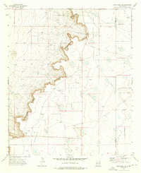
1973 · Cedar Point SE
USGS Topo · 1:24,000