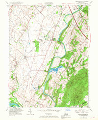
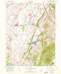
1952 Map of Buckeystown
USGS Topo · Published 1968About this map
The Monocacy River flows through this 1952 revised landscape, where mid-century Maryland farming communities align with the historic path of the Baltimore and Ohio Railroad. Industry and transit define the corridor from Frederick Junction south through Lime Kiln and Buckeystown, where local Brick Kilns are noted near the tracks. This era shows the continued prominence of the C & O Canal along the Potomac River at the map's southern edge, serving as a landmark boundary near Nolands Island.
Find a feature on this map
43 named features on this map. Tap any name to fly to it.
Don’t see what you’re looking for? This feature index may not catch every label — zoom into the map to look around manually.
Map Details
Editions of this 1952 Buckeystown Map
8 editions found
Other maps of this area

1884 · Harpers Ferry
USGS Topo · 1:125,000

1891 · Harpers Ferry
USGS Topo · 1:125,000

1893 · Frederick
USGS Topo · 1:125,000

1893 · Harpers Ferry
USGS Topo · 1:125,000

1894 · Frederick
USGS Topo · 1:125,000

1908 · Middletown
USGS Topo · 1:48,000

1908 · Seneca
USGS Topo · 1:62,500

1908 · Ijamsville
USGS Topo · 1:62,500

1909 · Ijamsville
USGS Topo · 1:62,500

1910 · Antietam
USGS Topo · 1:62,500