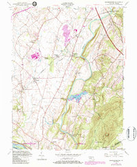
1952 Map of Buckeystown
USGS Topo · Published 1984About this map
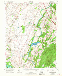
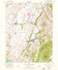
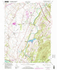
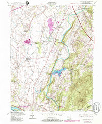
The Monocacy River winds through this Maryland landscape, shaping a corridor of agriculture and early industry in Frederick County. The Baltimore and Ohio railroad network serves as a primary artery for the region, connecting hubs like Buckeystown Station and Frederick Junction. Settlement patterns are defined by small crossroads and industrial sites, including the Brick Kilns near the river and the specialized operations at Lilypons, noted for its Fish Hatchery.
Find a feature on this map
46 named features on this map. Tap any name to fly to it.
Don’t see what you’re looking for? This feature index may not catch every label — zoom into the map to look around manually.
Map Details
Editions of this 1952 Buckeystown Map
8 editions found
Other maps of this area

1884 · Harpers Ferry
USGS Topo · 1:125,000

1891 · Harpers Ferry
USGS Topo · 1:125,000

1893 · Frederick
USGS Topo · 1:125,000

1893 · Harpers Ferry
USGS Topo · 1:125,000

1894 · Frederick
USGS Topo · 1:125,000

1908 · Middletown
USGS Topo · 1:48,000

1908 · Seneca
USGS Topo · 1:62,500

1908 · Ijamsville
USGS Topo · 1:62,500

1909 · Ijamsville
USGS Topo · 1:62,500

1910 · Antietam
USGS Topo · 1:62,500