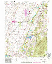
1952 Map of Buckeystown
USGS Topo · Published 1986About this map
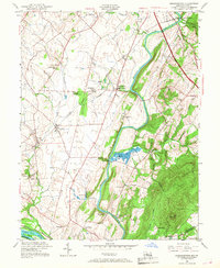
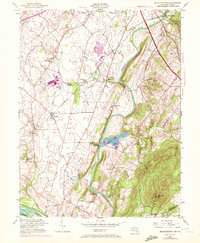
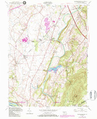
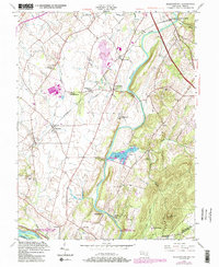
Monocacy River bottomlands and the northern reach of the Chesapeake and Ohio Canal dominate this mid-century view of the Maryland countryside. The landscape is defined by its early industrial and religious heritage, with numerous small settlements like Adamstown and Buckeystown serving as hubs along the Baltimore and Ohio rail line. Agricultural life is punctuated by significant local landmarks, including the historic St Josephs Carrollton Manor and the prominent rising profile of Sugar Loaf Mtn to the southeast. At Lilypons, the distinctive grid of the Fish Hatchery appears alongside the river, while further north, the remnants of local industry are visible at Lime Kiln and the Brick Ruins. This survey captures the region as a well-established corridor of commerce and faith, with numerous country churches like Bells Chapel and Forest Grove Ch serving the rural population near the Frederick and Montgomery County border.
Find a feature on this map
44 named features on this map. Tap any name to fly to it.
Don’t see what you’re looking for? This feature index may not catch every label — zoom into the map to look around manually.
Map Details
Editions of this 1952 Buckeystown Map
8 editions found
Other maps of this area

1884 · Harpers Ferry
USGS Topo · 1:125,000

1891 · Harpers Ferry
USGS Topo · 1:125,000

1893 · Frederick
USGS Topo · 1:125,000

1893 · Harpers Ferry
USGS Topo · 1:125,000

1894 · Frederick
USGS Topo · 1:125,000

1908 · Middletown
USGS Topo · 1:48,000

1908 · Seneca
USGS Topo · 1:62,500

1908 · Ijamsville
USGS Topo · 1:62,500

1909 · Ijamsville
USGS Topo · 1:62,500

1910 · Antietam
USGS Topo · 1:62,500